
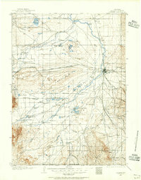
1958 Map of Craig
USGS Topo · Published 1958About this map
The Continental Divide zigzags across the heart of this mid-century Rocky Mountain landscape, separating the high-altitude headwaters of the Colorado River and the Yampa River. The survey documents a network of mountain communities and growing water infrastructure, featuring major reservoirs like Lake Granby, Shadow Mountain Lake, and the Williams Fork Reservoir. From the hub of Steamboat Springs to the ranching and mining outposts of Craig and Meeker, the map details a region defined by its timber and mineral resources, including noted Uranium Mines. In the east, the Park Range and Medicine Bow Mountains rise above the high basins of North Park near Walden, while the western stretches transition into the coal-rich mesas and rolling plateaus of Moffat County. The presence of the Denver and Rio Grande Western railroad line through the Yampa valley underscores the importance of the region's industrial connection to the outside world during this era.
Find a feature on this map
94 named features on this map. Tap any name to fly to it.
Don’t see what you’re looking for? This feature index may not catch every label — zoom into the map to look around manually.
Map Details
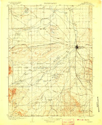
Editions of this 1958 Craig Map
This is the sole edition of this map. No revisions or reprints were ever made.
Other maps of this area

1895 · Laramie
USGS Topo · 1:125,000

1902 · Laramie
USGS Topo · 1:125,000

1905 · Laramie
USGS Topo · 1:125,000

1906 · Medicine Bow
USGS Topo · 1:125,000
1906 · Laramie
USGS Topo · 1:125,000

1906 · Grand Hogback
USGS Topo · 1:125,000

1907 · White River
USGS Topo · 1:125,000
1908 · Laramie
USGS Topo · 1:125,000

1908 · Medicine Bow
USGS Topo · 1:125,000

1910 · Danforth Hills
USGS Topo · 1:125,000