
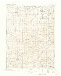
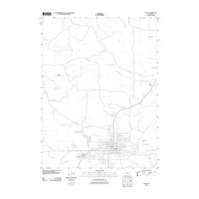
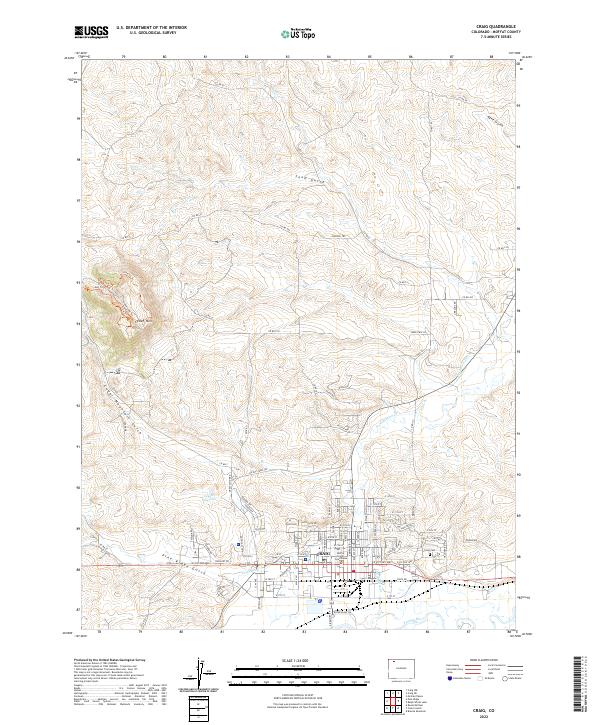
1957 Map of Craig
USGS Topo · Published 1957About this map
Steamboat Springs and the surrounding high country of the Continental Divide define this mid-century survey of Northwest Colorado. The landscape is a network of ranching and mining hubs connected by the Denver and Rio Grande Western railroad, which follows the Yampa River valley through Hayden and Craig. The map captures the region before major modern expansion, showing smaller settlements like Columbine and Hahns Peak alongside early industrial sites such as the Sudduth Mine. To the east, the North Park basin centers on Walden and the Michigan River, framed by the Medicine Bow Mountains. This era shows the extensive boundaries of the Routt National Forest and Arapaho National Forest, highlighting the significance of public lands and water resources like Trappers Lake and Stillwater Reservoir to the local economy and early recreation.
Find a feature on this map
127 named features on this map. Tap any name to fly to it.
Don’t see what you’re looking for? This feature index may not catch every label — zoom into the map to look around manually.
Map Details
Editions of this 1957 Craig Map
This is the sole edition of this map. No revisions or reprints were ever made.
Historical Maps of Craig Through Time
15 maps found
1916 Craig
Moffat County, CO
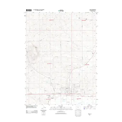
1954 Craig
Moffat County, CO
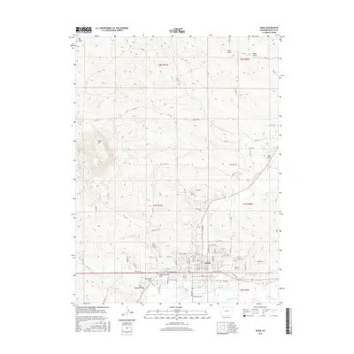
1957 Craig
Moffat County, CO

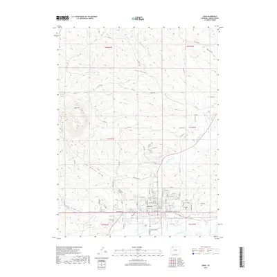
1958 Craig
Moffat County, CO

1960 Craig
Moffat County, CO

1962 Craig
Moffat County, CO

1964 Craig
Moffat County, CO

1965 Craig
Moffat County, CO
1969 Craig
Moffat County, CO
1979 Craig
Moffat County, CO
2010 Craig
Moffat County, CO
2013 Craig
Moffat County, CO
2016 Craig
Moffat County, CO
2019 Craig
Moffat County, CO
2022 Craig
Moffat County, CO