
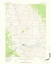
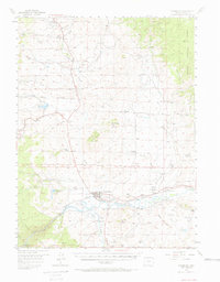
1956 Map of Kremmling
USGS Topo · Published 1958About this map
The confluence of the Colorado River and the Blue River anchors this mid-century survey of the Middle Park region. Centered on the town of Kremmling, the landscape is defined by its ranching economy and critical transportation corridors, including the Denver and Rio Grande Western railroad skirting the riverbanks. The high-altitude terrain transitions from the open valley floor to the prominent heights of Wolford Mountain and the Gore Range to the southwest, where the river carves through Gore Canyon.
Find a feature on this map
70 named features on this map. Tap any name to fly to it.
Don’t see what you’re looking for? This feature index may not catch every label — zoom into the map to look around manually.
Map Details
Editions of this 1956 Kremmling Map
3 editions found
Other maps of this area

1933 · Mt. Powell
USGS Topo · 1:48,000

1933 · Ute Peak
USGS Topo · 1:62,500

1937 · Ute Peak
USGS Topo · 1:62,500

1940 · Mount Powell
USGS Topo · 1:62,500

1954 · Craig
USGS Topo · 1:250,000

1956 · Lake Agnes
USGS Topo · 1:24,000

1956 · Parkview Mountain
USGS Topo · 1:24,000

1956 · Whiteley Peak
USGS Topo · 1:24,000

1956 · Hyannis Peak
USGS Topo · 1:24,000

1956 · Gore Pass
USGS Topo · 1:62,500