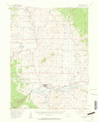
1956 Map of Kremmling
USGS Topo · Published 1962About this map
The confluence of Muddy Creek and the Colorado River anchors this mid-century survey of Kremmling, a vital hub for Grand County's ranching and transit. In the mid-1950s, the landscape is defined by an extensive network of family-held cattle operations, including the Ritschard Ranch to the north and the Mayhoffer Ranch along the riverbanks to the east. The Denver and Rio Grande Western railroad tracks parallel the water, providing the primary industrial link through the high country. Notable landmarks such as the volcanic Junction Butte and the prominent Wolford Mountain dominate the local relief, while high passes like Gunsight Pass and Antelope Pass navigate the divides. Rural education is still represented by the Colorow Sch near the southern border, marking a time before the widespread consolidation of mountain school districts.
Find a feature on this map
78 named features on this map. Tap any name to fly to it.
Don’t see what you’re looking for? This feature index may not catch every label — zoom into the map to look around manually.
Map Details
Editions of this 1956 Kremmling Map
3 editions found
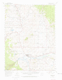
Other maps of this area

1933 · Mt. Powell
USGS Topo · 1:48,000

1933 · Ute Peak
USGS Topo · 1:62,500

1937 · Ute Peak
USGS Topo · 1:62,500

1940 · Mount Powell
USGS Topo · 1:62,500

1954 · Craig
USGS Topo · 1:250,000

1956 · Lake Agnes
USGS Topo · 1:24,000

1956 · Kremmling
USGS Topo · 1:62,500

1956 · Parkview Mountain
USGS Topo · 1:24,000

1956 · Whiteley Peak
USGS Topo · 1:24,000

1956 · Hyannis Peak
USGS Topo · 1:24,000