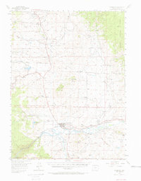
1956 Map of Kremmling
USGS Topo · Published 1970About this map
Kremmling stands as the central hub of this mountain basin, situated at the strategic confluence where the Blue River and Muddy Creek meet the Colorado River. The landscape is defined by its ranching heritage, with numerous family-named properties like Fay DeBerard Ranch, Whitaker Ranch, and Taussig Ranch scattered across the river bottoms and foothills. This mid-century survey illustrates the importance of water management in the high country, featuring infrastructure like the City Reservoir and the Moore Res.
Find a feature on this map
67 named features on this map. Tap any name to fly to it.
Don’t see what you’re looking for? This feature index may not catch every label — zoom into the map to look around manually.
Map Details
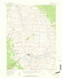
Editions of this 1956 Kremmling Map
3 editions found
Other maps of this area

1933 · Mt. Powell
USGS Topo · 1:48,000

1933 · Ute Peak
USGS Topo · 1:62,500

1937 · Ute Peak
USGS Topo · 1:62,500

1940 · Mount Powell
USGS Topo · 1:62,500

1954 · Craig
USGS Topo · 1:250,000

1956 · Lake Agnes
USGS Topo · 1:24,000

1956 · Kremmling
USGS Topo · 1:62,500

1956 · Parkview Mountain
USGS Topo · 1:24,000

1956 · Whiteley Peak
USGS Topo · 1:24,000

1956 · Hyannis Peak
USGS Topo · 1:24,000