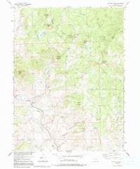
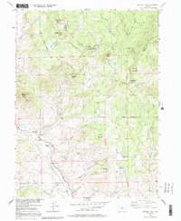
1956 Map of Whiteley Peak
USGS Topo · Published 1991About this map
Rabbit Ears Range peaks dominate this mid-century survey of the high country straddling the Continental Divide. Along the southern slopes, several working homesteads illustrate the remote ranching life of the era, including the Haworth Ranch, Ritschard Ranch, and Dietrich Ranch. The map captures a high-elevation educational outpost at the Muddy Valley Sch, located near the headwaters of Muddy Creek. Notable topographic features with distinctive local names punctuate the landscape, such as Grannys Nightcap, Grannys Nipple, and Whiteley Peak. The drainage patterns are clearly defined, with Lindsey Creek and Badger Creek cutting through the terrain below Carter Mountain. This document serves as a detailed record of the Grand and Jackson County boundary before modern development, marking the intersection of the Routt National Forest and Arapaho National Forest.
Find a feature on this map
38 named features on this map. Tap any name to fly to it.
Don’t see what you’re looking for? This feature index may not catch every label — zoom into the map to look around manually.
Map Details
Editions of this 1956 Whiteley Peak Map
6 editions found
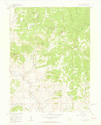
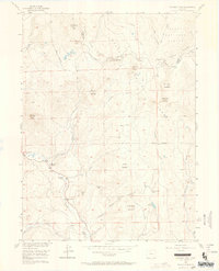
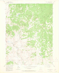
Other maps of this area

1954 · Craig
USGS Topo · 1:250,000

1956 · Rabbit Ears Peak
USGS Topo · 1:24,000

1956 · Lake Agnes
USGS Topo · 1:24,000

1956 · Kremmling
USGS Topo · 1:62,500

1956 · Spicer Peak
USGS Topo · 1:24,000

1956 · Buffalo Peak
USGS Topo · 1:24,000

1956 · Whiteley Peak
USGS Topo · 1:24,000

1956 · Hyannis Peak
USGS Topo · 1:24,000

1956 · Gore Pass
USGS Topo · 1:62,500

1956 · Hyannis Peak
USGS Topo · 1:62,500