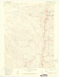
1957 Map of Mount Richthofen
USGS Topo · Published 1961About this map
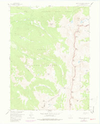
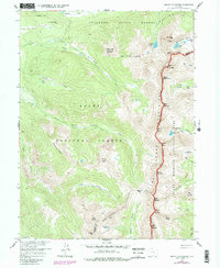
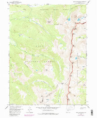
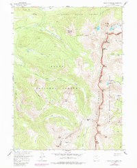
The Continental Divide serves as the central spine of this mid-century survey, marking the jagged boundary between Jackson and Grand counties. The terrain is defined by several high-altitude peaks within the Never Summer Mountains, including Mount Richthofen, Mount Cirrus, and Mount Cumulus. These summits preside over a landscape managed by three distinct entities: Rocky Mountain National Park, Routt National Forest, and the Colorado State Forest.
Find a feature on this map
55 named features on this map. Tap any name to fly to it.
Don’t see what you’re looking for? This feature index may not catch every label — zoom into the map to look around manually.
Map Details
Editions of this 1957 Mount Richthofen Map
9 editions found

Other maps of this area

1915 · Longs Peak
USGS Topo · 1:125,000

1916 · Home
USGS Topo · 1:125,000

1919 · Rocky Mountain National Park
USGS Topo · 1:125,000

1920 · Home
USGS Topo · 1:125,000

1954 · Greeley
USGS Topo · 1:250,000

1954 · Craig
USGS Topo · 1:250,000

1955 · Gould
USGS Topo · 1:24,000

1956 · Radial Mountain
USGS Topo · 1:24,000

1956 · Jack Creek Ranch
USGS Topo · 1:24,000

1956 · Rand
USGS Topo · 1:62,500