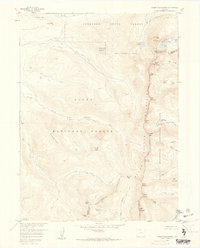
1957 Map of Mount Richthofen
USGS Topo · Published 1959About this map
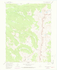
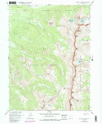
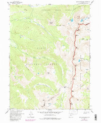
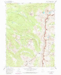
The Continental Divide serves as the high spine of this Colorado landscape, where the Never Summer Mountains separate the headwaters of the Michigan River from the western slope. In the late 1950s, this area was defined by its intersecting public lands, including the Colorado State Forest, Routt National Forest, and Rocky Mountain National Park. High-altitude features like Nokhu Crags and Mount Richthofen dominate the eastern ridgeline, overlooking alpine waters such as Lake Agnes and Snow Lake. Evidence of early water management is visible in the Upper Michigan Ditch, while the Michigan Trail and Parika Trail trace the routes used by foresters and early backcountry travelers through the Bearpaws Peaks.
Find a feature on this map
55 named features on this map. Tap any name to fly to it.
Don’t see what you’re looking for? This feature index may not catch every label — zoom into the map to look around manually.
Map Details
Editions of this 1957 Mount Richthofen Map
9 editions found

Other maps of this area

1915 · Longs Peak
USGS Topo · 1:125,000

1916 · Home
USGS Topo · 1:125,000

1919 · Rocky Mountain National Park
USGS Topo · 1:125,000

1920 · Home
USGS Topo · 1:125,000

1954 · Greeley
USGS Topo · 1:250,000

1954 · Craig
USGS Topo · 1:250,000

1955 · Gould
USGS Topo · 1:24,000

1956 · Radial Mountain
USGS Topo · 1:24,000

1956 · Jack Creek Ranch
USGS Topo · 1:24,000

1956 · Rand
USGS Topo · 1:62,500