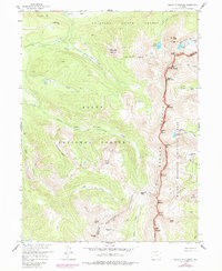
1957 Map of Mount Richthofen
USGS Topo · Published 1988About this map
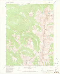
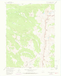
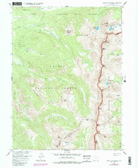
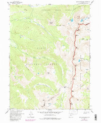
The Continental Divide forms a stark natural boundary across this landscape, separating the high peaks of the Jackson and Grand county lines. Within the high-altitude terrain of Rocky Mountain National Park and Routt National Forest, the map documents essential water management infrastructure, including the Upper Michigan Ditch and the Grand Ditch. These engineering feats represent a significant era of water diversion in the West, moving meltwater across the divide to support agriculture and development in lower basins. The terrain is defined by dramatic summits such as Mount Richthofen and the jagged Nokhu Crags, while alpine waters like Lake Agnes and Lake of the Clouds sit at the base of these massifs. Local movement through this wilderness is marked by the Michigan Trail, tracing the path of the Michigan River through the Colorado State Forest.
Find a feature on this map
49 named features on this map. Tap any name to fly to it.
Don’t see what you’re looking for? This feature index may not catch every label — zoom into the map to look around manually.
Map Details
Editions of this 1957 Mount Richthofen Map
9 editions found

Other maps of this area

1915 · Longs Peak
USGS Topo · 1:125,000

1916 · Home
USGS Topo · 1:125,000

1919 · Rocky Mountain National Park
USGS Topo · 1:125,000

1920 · Home
USGS Topo · 1:125,000

1954 · Greeley
USGS Topo · 1:250,000

1954 · Craig
USGS Topo · 1:250,000

1955 · Gould
USGS Topo · 1:24,000

1956 · Radial Mountain
USGS Topo · 1:24,000

1956 · Jack Creek Ranch
USGS Topo · 1:24,000

1956 · Rand
USGS Topo · 1:62,500