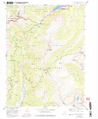
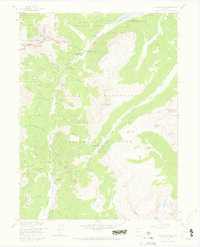
1958 Map of Fall River Pass
USGS Topo · Published 1983About this map
The Continental Divide snake through this high-altitude landscape, defining the headwaters of the Colorado River and the Cache la Poudre River. This map shows the complex water management systems of the era, including the Grand Ditch and Upper Michigan Ditch which diverted water across the mountains. Historic human activity is marked by the Lulu City (Site), a former mining camp, and administrative outposts like the La Poudre Pass Ranger Station. In the eastern portion, the landscape shifts toward the high tundra of Rocky Mountain National Park, featuring the Fall River Visitor Center Ranger Station and the winding Tundra Curves. The terrain is characterized by dramatic features such as The Crater and Little Yellowstone, while the Kawuneeche Valley provides a significant corridor through the southern reaches.
Find a feature on this map
77 named features on this map. Tap any name to fly to it.
Don’t see what you’re looking for? This feature index may not catch every label — zoom into the map to look around manually.
Map Details
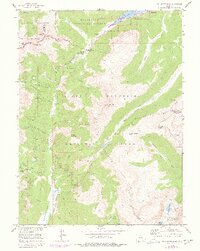
Editions of this 1958 Fall River Pass Map
6 editions found
Other maps of this area

1915 · Longs Peak
USGS Topo · 1:125,000

1916 · Home
USGS Topo · 1:125,000

1919 · Rocky Mountain National Park
USGS Topo · 1:125,000

1920 · Home
USGS Topo · 1:125,000

1954 · Greeley
USGS Topo · 1:250,000

1957 · Greeley
USGS Topo · 1:250,000

1957 · Mc Henrys Peak
USGS Topo · 1:24,000

1957 · Trail Ridge
USGS Topo · 1:24,000

1957 · Mount Richthofen
USGS Topo · 1:24,000

1957 · Bowen Mountain
USGS Topo · 1:24,000