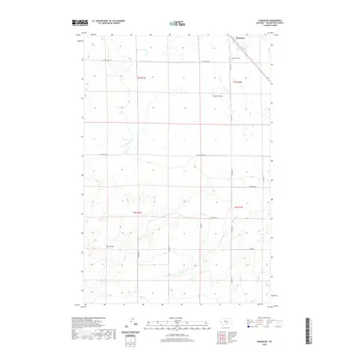
2020 Map of Comanche
USGS Topo · Published 2020About this map
Comanche sits at the northern edge of this high plains landscape, defined by a network of rural roads and seasonal watercourses. The local community center revolves around the W Comanche Rd and Popelka Rd intersection, where the Comanche Cem serves as a primary genealogical landmark for the region. The topography transitions from the level expanses of Comanche Flat in the north toward more complex drainage patterns to the south.
Find a feature on this map
21 named features on this map. Tap any name to fly to it.
Don’t see what you’re looking for? This feature index may not catch every label — zoom into the map to look around manually.
Map Details
Editions of this 2020 Comanche Map
This is the sole edition of this map. No revisions or reprints were ever made.
Other maps of this area
1954 · Billings
USGS Topo · 1:250,000
1954 · Roundup
USGS Topo · 1:250,000
1956 · Comanche
USGS Topo · 1:24,000
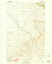
1956 · Acton
USGS Topo · 1:24,000
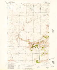
1956 · Molt
USGS Topo · 1:24,000
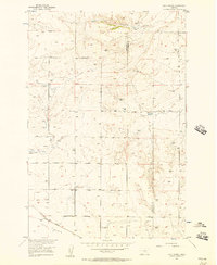
1956 · Rock Spring
USGS Topo · 1:24,000
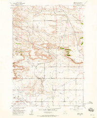
1956 · Rimrock
USGS Topo · 1:24,000
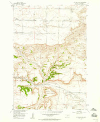
1956 · Two Pine School
USGS Topo · 1:24,000
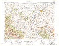
1957 · Billings
USGS Topo · 1:250,000
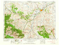
1958 · Billings
USGS Topo · 1:250,000