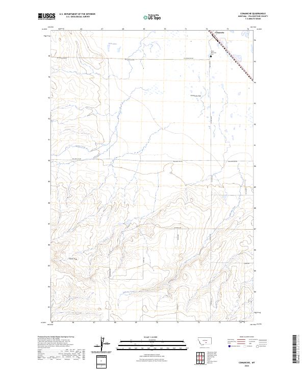
2024 Map of Comanche
USGS Topo · Published 2024About this map
Comanche and its surrounding high plains landscape are defined by a network of rural section-line roads and seasonal watercourses. This contemporary topographic record shows a transition from the level expanse of Comanche Flat in the north toward the increasingly dissected terrain of the south, where Devils Hole marks a significant depression in the landscape. The settlement itself is anchored near the Helm Memorial Cem, providing a focal point for family history researchers interested in the rural development of Yellowstone County.
Find a feature on this map
20 named features on this map. Tap any name to fly to it.
Don’t see what you’re looking for? This feature index may not catch every label — zoom into the map to look around manually.
Map Details
Editions of this 2024 Comanche Map
This is the sole edition of this map. No revisions or reprints were ever made.
Other maps of this area

1954 · Billings
USGS Topo · 1:250,000

1954 · Roundup
USGS Topo · 1:250,000

1956 · Comanche
USGS Topo · 1:24,000

1956 · Acton
USGS Topo · 1:24,000

1956 · Molt
USGS Topo · 1:24,000

1956 · Rock Spring
USGS Topo · 1:24,000

1956 · Rimrock
USGS Topo · 1:24,000

1956 · Two Pine School
USGS Topo · 1:24,000

1957 · Billings
USGS Topo · 1:250,000

1958 · Billings
USGS Topo · 1:250,000