Loading...
Loading map...2024 Map of Commerce
USGS Topo · Published 2024About this map
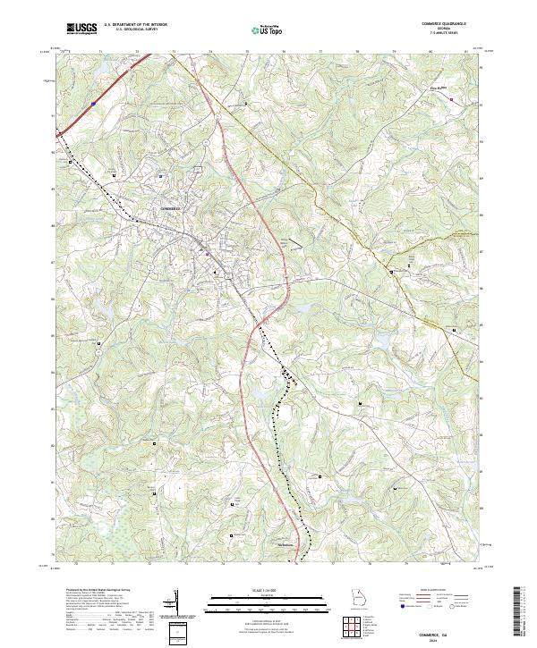
The manufacturing and transit hub of Commerce anchors this modern survey of Northeast Georgia, where the headwaters of the North Oconee River and Sandy Creek carve through the landscape. The city's industrial footprint is visible along the Steve Reynolds Industrial Pkwy, while the surrounding rural geography retains numerous family and community landmarks. Genealogists will find a high density of burial sites including Gray Hill Cem, Cabin Creek Cem, and Harmony Cem.
Find a feature on this map
195 named features on this map. Tap any name to fly to it.
Don’t see what you’re looking for? This feature index may not catch every label — zoom into the map to look around manually.
Map Details
Date Portrayed2024
Date Published2024
PublisherU.S. Geological Survey
Map TypeTopographic
Scale1:24000
Physical Dimensions24 x 29 inches
Editions of this 2024 Commerce Map
This is the sole edition of this map. No revisions or reprints were ever made.
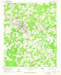
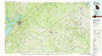
Historical Maps of Nicholson Through Time
3 maps found
Featured Locations
Source Details
SourceU.S. Geological Survey
CopyrightPublic Domain