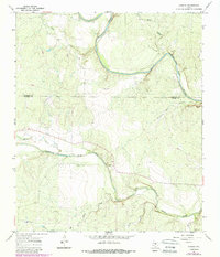
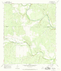
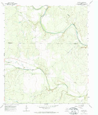
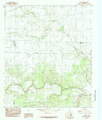
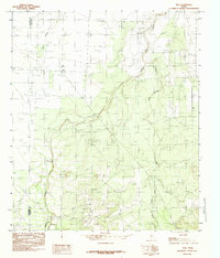
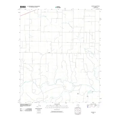
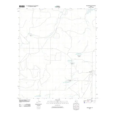
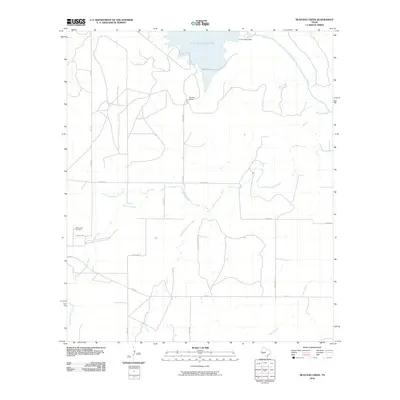
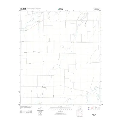
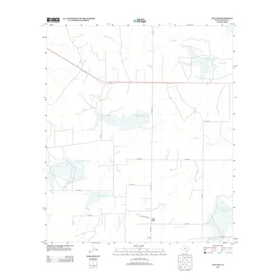
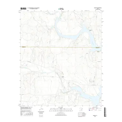
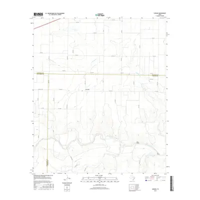
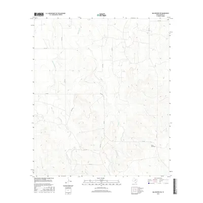
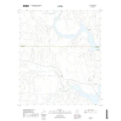
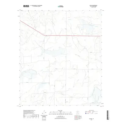
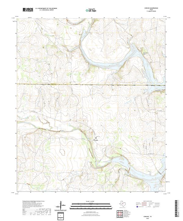
1967 Map of Concho
USGS Topo · Published 1988About this map
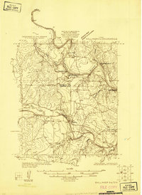
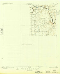
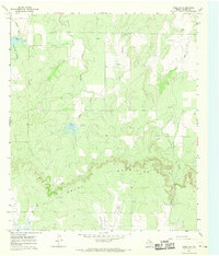
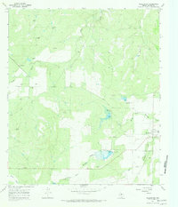
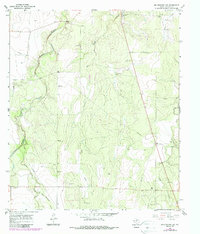
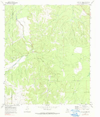
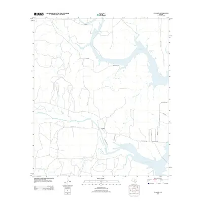
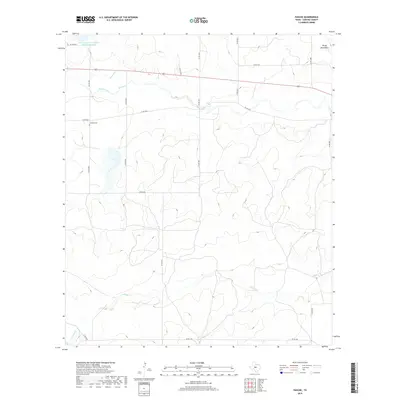
The confluence of the Colorado River and the Concho River dominates this West Texas landscape, where the boundary between Runnels and Concho counties follows a rigid east-west line across the winding waterways. The terrain is marked by distinctive features such as Deadmans Bluff and Brushy Bluff, illustrating the dramatic elevation changes that define the river valleys.
Find a feature on this map
21 named features on this map. Tap any name to fly to it.
Don’t see what you’re looking for? This feature index may not catch every label — zoom into the map to look around manually.
Map Details
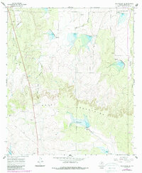
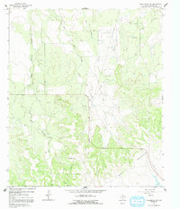
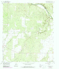
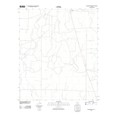
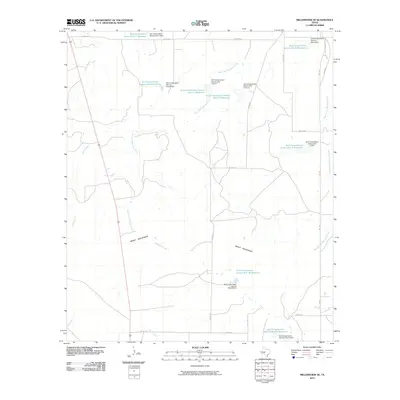
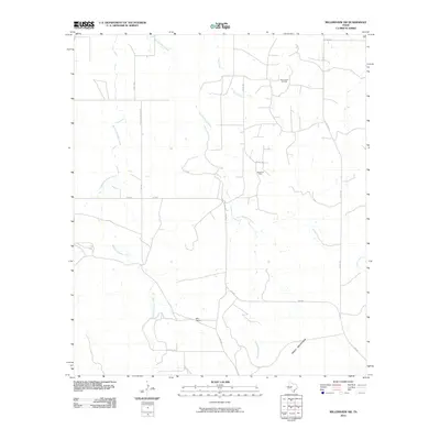
Editions of this 1967 Concho Map
3 editions found
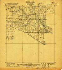
Historical Maps of Concho Through Time
81 maps found
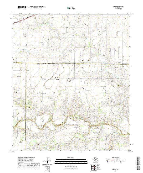
1921 Lowake
Concho County, TX
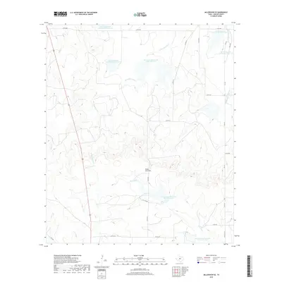
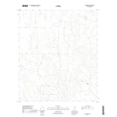
1925 Ballinger 3-d
Concho County, TX
1931 Stacy
Concho County, TX
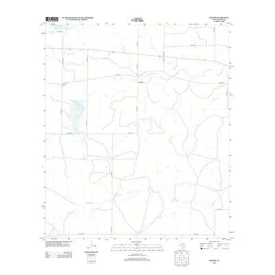
1967 Concho
Concho County, TX
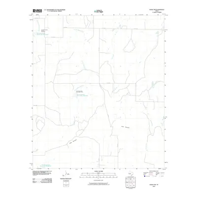
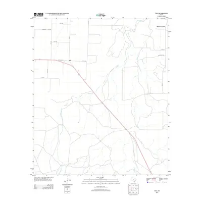
1967 Doole SW
Concho County, TX
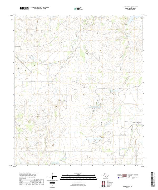
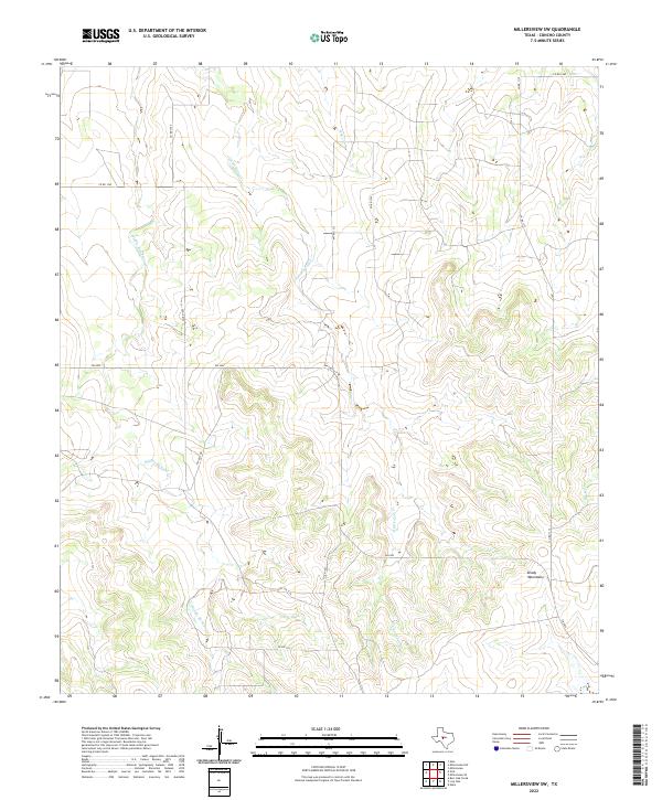
1967 Millersview
Concho County, TX
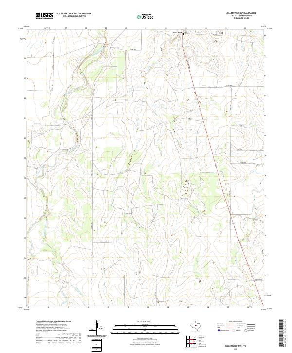
1967 Millersview NW
Concho County, TX
1967 Millersview SE
Concho County, TX
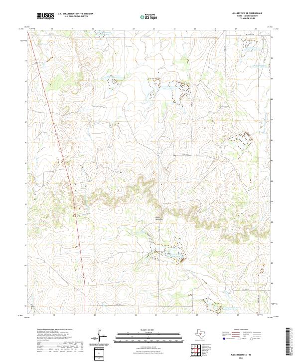
1967 Millersview SW
Concho County, TX
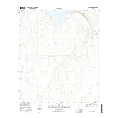
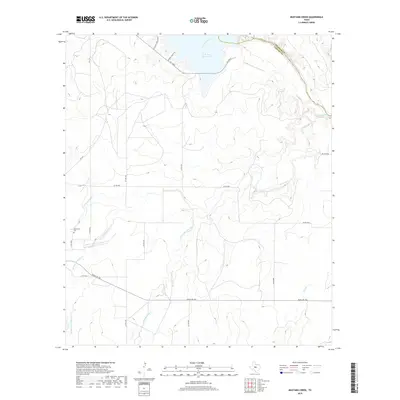
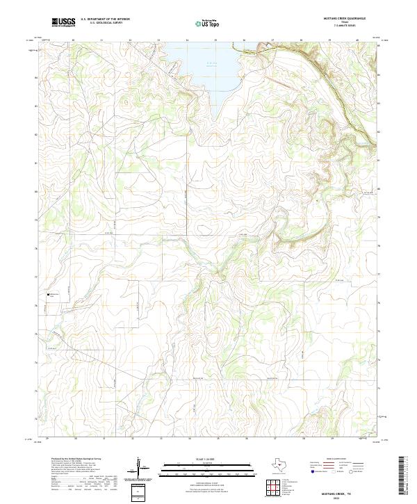
1967 Mustang Creek
Concho County, TX
1970 Burr Oak Creek
Concho County, TX
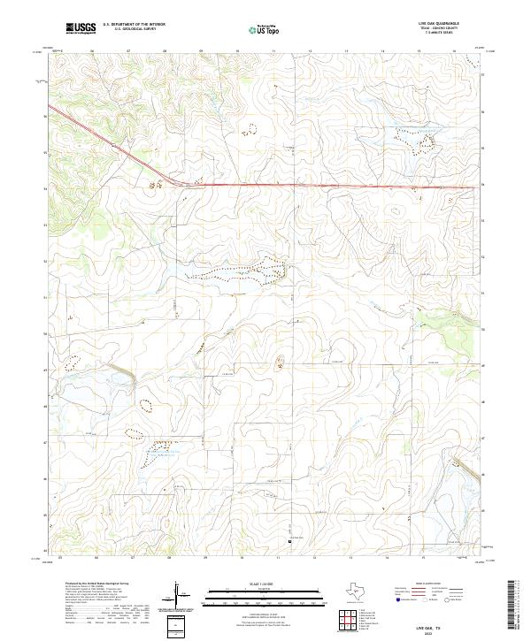
1970 Live Oak
Concho County, TX
1970 Pasche
Concho County, TX
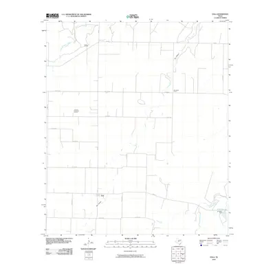
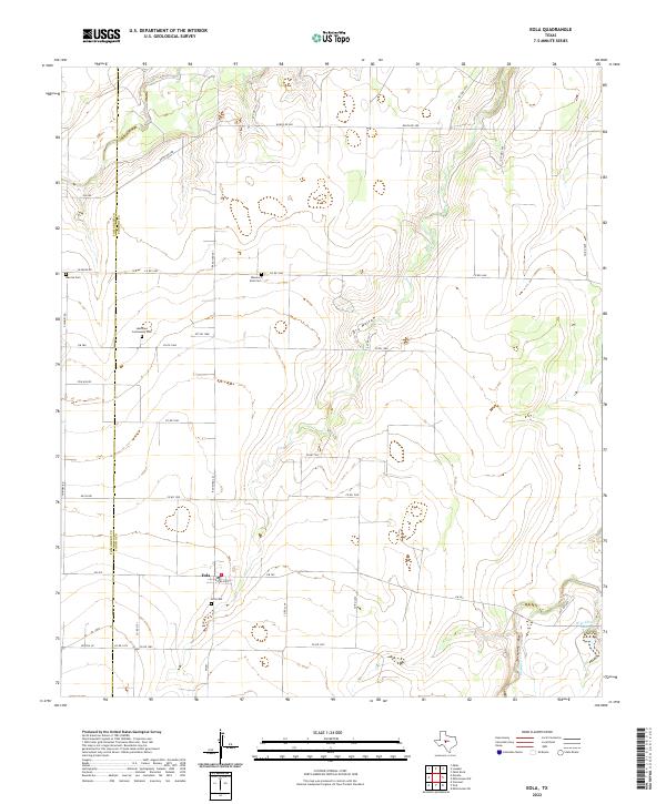
1984 Eola
Concho County, TX
1984 Lowake
Concho County, TX
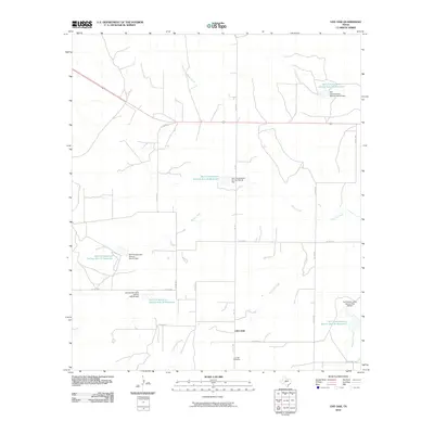
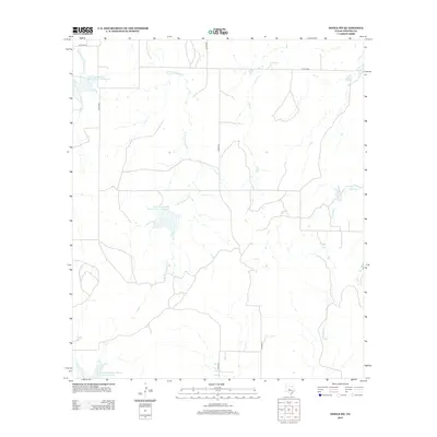
1984 Vick
Concho County, TX
2010 Burr Oak Creek
Concho County, TX
2010 Concho
Concho County, TX
2010 Doole SW
Concho County, TX
2010 Eola
Concho County, TX
2010 Live Oak
Concho County, TX
2010 Lowake
Concho County, TX
2010 Millersview
Concho County, TX
2010 Millersview NW
Concho County, TX
2010 Millersview SE
Concho County, TX
2010 Millersview SW
Concho County, TX
2010 Mustang Creek
Concho County, TX
2010 Pasche
Concho County, TX
2010 Vick
Concho County, TX
2012 Burr Oak Creek
Concho County, TX
2012 Eola
Concho County, TX
2012 Lowake
Concho County, TX
2012 Millersview NW
Concho County, TX
2012 Millersview SW
Concho County, TX
2012 Pasche
Concho County, TX
2012 Vick
Concho County, TX
2013 Concho
Concho County, TX
2013 Doole SW
Concho County, TX
2013 Live Oak
Concho County, TX
2013 Millersview
Concho County, TX
2013 Millersview SE
Concho County, TX
2013 Mustang Creek
Concho County, TX
2016 Burr Oak Creek
Concho County, TX
2016 Concho
Concho County, TX

2016 Doole SW
Concho County, TX
2016 Eola
Concho County, TX
2016 Live Oak
Concho County, TX
2016 Lowake
Concho County, TX
2016 Millersview
Concho County, TX
2016 Millersview NW
Concho County, TX
2016 Millersview SE
Concho County, TX
2016 Millersview SW
Concho County, TX
2016 Mustang Creek
Concho County, TX
2016 Pasche
Concho County, TX
2016 Vick
Concho County, TX
2019 Burr Oak Creek
Concho County, TX
2019 Concho
Concho County, TX
2019 Doole SW
Concho County, TX
2019 Eola
Concho County, TX
2019 Live Oak
Concho County, TX
2019 Lowake
Concho County, TX
2019 Millersview
Concho County, TX
2019 Millersview NW
Concho County, TX
2019 Millersview SE
Concho County, TX
2019 Millersview SW
Concho County, TX
2019 Mustang Creek
Concho County, TX
2019 Pasche
Concho County, TX
2019 Vick
Concho County, TX
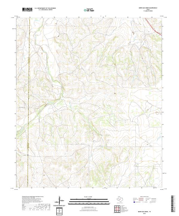
2022 Burr Oak Creek
Concho County, TX
2022 Concho
Concho County, TX
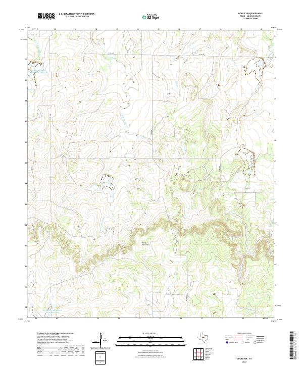
2022 Doole SW
Concho County, TX
2022 Eola
Concho County, TX
2022 Live Oak
Concho County, TX
2022 Lowake
Concho County, TX
2022 Millersview
Concho County, TX
2022 Millersview NW
Concho County, TX
2022 Millersview SE
Concho County, TX
2022 Millersview SW
Concho County, TX
2022 Mustang Creek
Concho County, TX
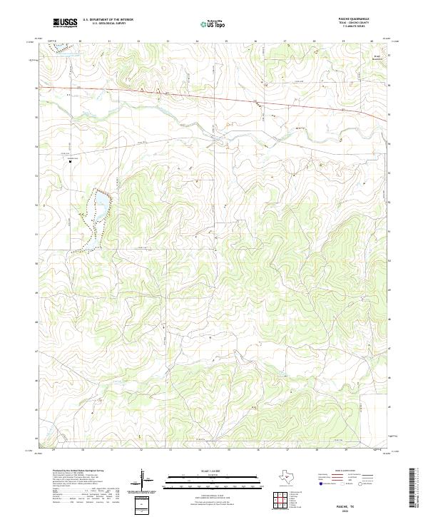
2022 Pasche
Concho County, TX
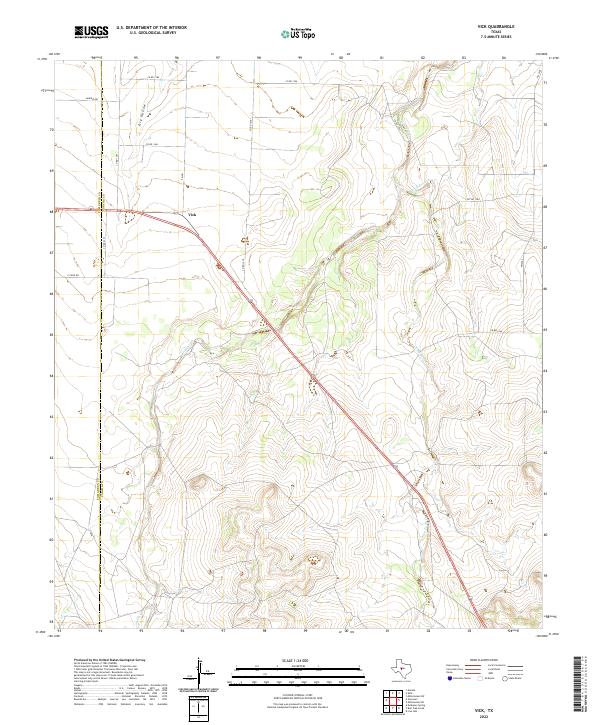
2022 Vick
Concho County, TX