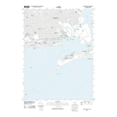
2010 Map of Coney Island
USGS Topo · Published 2010About this map
Astroland and the Steeplechase Pier anchor the southern coastline of Brooklyn on this map, documenting the iconic waterfront of Coney Island before significant redevelopment began to alter the amusement district's traditional footprint. The survey captures the dense urban grid extending through Bensonhurst, Gravesend, and Sheepshead Bay, contrasted by the specialized aeronautical and maritime infrastructure at Floyd Bennett Field and the Brooklyn Coast Guard Air Station further east.
Find a feature on this map
62 named features on this map. Tap any name to fly to it.
Don’t see what you’re looking for? This feature index may not catch every label — zoom into the map to look around manually.
Map Details
Editions of this 2010 Coney Island Map
This is the sole edition of this map. No revisions or reprints were ever made.
Other maps of this area

1888 · Sandy Hook
USGS Topo · 1:62,500

1889 · Brooklyn
USGS Topo · 1:62,500

1891 · Brooklyn
USGS Topo · 1:62,500

1893 · Sandy Hook
USGS Topo · 1:62,500

1897 · Brooklyn
USGS Topo · 1:62,500

1898 · Staten Island
USGS Topo · 1:62,500

1898 · Brooklyn
USGS Topo · 1:62,500

1900 · Passaic
USGS Topo · 1:125,000

1900 · Staten Island
USGS Topo · 1:62,500

1900 · Brooklyn
USGS Topo · 1:62,500