
1900 Map of Brooklyn
USGS Topo · Published 1900About this map
Greenwood Cemetery and Prospect Park anchor the urban grid of western Brooklyn during this era of rapid consolidation, while a complex network of rail lines facilitates expansion into the surrounding boroughs. The map illustrates a landscape in transition, where established settlements like Flatbush and New Utrecht are increasingly connected by the Long Island Railroad and various electric lines. To the east and south, the tidal wetlands of Jamaica Bay remain a wild labyrinth of marshes and islands, including Barren Island, Ruffle Bar, and Jo Co's Marsh. This survey captures the coastline before modern infill projects reshaped the shoreline, documenting the many inlets and basins such as Bergen Basin and Sheepshead Bay that defined the maritime character of the area at the end of the nineteenth century.
Find a feature on this map
112 named features on this map. Tap any name to fly to it.
Don’t see what you’re looking for? This feature index may not catch every label — zoom into the map to look around manually.
Map Details
Editions of this 1900 Brooklyn Map
11 editions found
1900 edition
16.6 x 20 inches
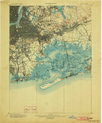
1903 edition
16.6 x 20 inches
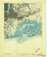
1905 edition
16.6 x 20 inches
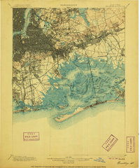
1906 edition
16.6 x 20 inches
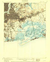
1908 edition
15.99 x 19.83 inches
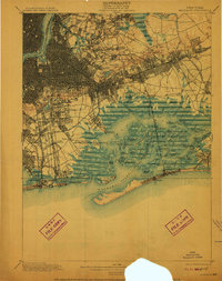
1910 edition
15.7 x 19.8 inches
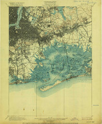
1916 edition
16.4 x 19.8 inches
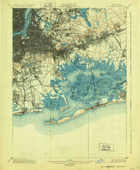
1924 edition
16.4 x 19.9 inches
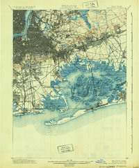
1931 edition
16.3 x 19.8 inches
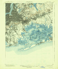
1938 edition
16.4 x 19.7 inches
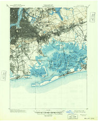
1948 edition
17 x 20.9 inches
Other maps of this area

1888 · Paterson
USGS Topo · 1:62,500

1888 · Sandy Hook
USGS Topo · 1:62,500

1889 · Brooklyn
USGS Topo · 1:62,500

1891 · Brooklyn
USGS Topo · 1:62,500

1891 · Harlem
USGS Topo · 1:62,500

1892 · Paterson
USGS Topo · 1:62,500

1893 · Sandy Hook
USGS Topo · 1:62,500

1897 · Harlem
USGS Topo · 1:62,500

1897 · Brooklyn
USGS Topo · 1:62,500

1897 · Hempstead
USGS Topo · 1:62,500