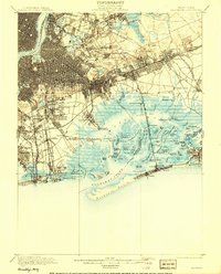
1900 Map of Brooklyn
USGS Topo · Published 1908About this map
Greenwood Cemetery and Prospect Park anchor a landscape in transition as the urban grid of Brooklyn expands eastward toward the salt marshes of Grassy Bay. This late nineteenth-century documentation captures the densifying settlements of New Utrecht, Gravesend, and Flatlands before they were fully subsumed by the twentieth-century metropolis. The Long Island Railroad and the New York and Rockaway Beach Railroad provide the skeletal structure for this growth, cutting through established communities like Winfield Junction and Woodhaven.
Find a feature on this map
109 named features on this map. Tap any name to fly to it.
Don’t see what you’re looking for? This feature index may not catch every label — zoom into the map to look around manually.
Map Details
Editions of this 1900 Brooklyn Map
11 editions found

1900 edition
16.6 x 20 inches
1903 edition
16.6 x 20 inches
1905 edition
16.6 x 20 inches
1906 edition
16.6 x 20 inches
1908 edition
15.99 x 19.83 inches
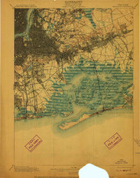
1910 edition
15.7 x 19.8 inches
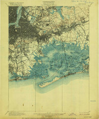
1916 edition
16.4 x 19.8 inches
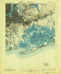
1924 edition
16.4 x 19.9 inches
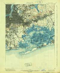
1931 edition
16.3 x 19.8 inches
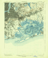
1938 edition
16.4 x 19.7 inches
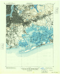
1948 edition
17 x 20.9 inches
Other maps of this area

1888 · Paterson
USGS Topo · 1:62,500

1888 · Sandy Hook
USGS Topo · 1:62,500

1889 · Brooklyn
USGS Topo · 1:62,500

1891 · Brooklyn
USGS Topo · 1:62,500

1891 · Harlem
USGS Topo · 1:62,500

1892 · Paterson
USGS Topo · 1:62,500

1893 · Sandy Hook
USGS Topo · 1:62,500

1897 · Harlem
USGS Topo · 1:62,500

1897 · Brooklyn
USGS Topo · 1:62,500

1897 · Hempstead
USGS Topo · 1:62,500