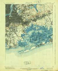
1900 Map of Brooklyn
USGS Topo · Published 1931About this map
North Brooklyn and its surrounding boroughs are presented during a period of massive infrastructure expansion, where the grid of New York meets the sprawling wetlands of Jamaica Bay. The map reveals a landscape defined by its transit networks, featuring several lines of the Electric R.R. and the Long Island R.R. branching through emerging neighborhoods like Winfield Junction and Woodhaven. The dense urban development of Brooklyn Borough contrasts sharply with the intricate network of tidal marshes and islands such as Ruffle Bar and Barren Island to the south.
Find a feature on this map
127 named features on this map. Tap any name to fly to it.
Don’t see what you’re looking for? This feature index may not catch every label — zoom into the map to look around manually.
Map Details
Editions of this 1900 Brooklyn Map
11 editions found

1900 edition
16.6 x 20 inches
1903 edition
16.6 x 20 inches
1905 edition
16.6 x 20 inches
1906 edition
16.6 x 20 inches
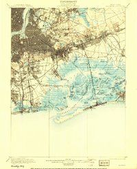
1908 edition
15.99 x 19.83 inches
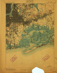
1910 edition
15.7 x 19.8 inches
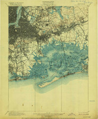
1916 edition
16.4 x 19.8 inches
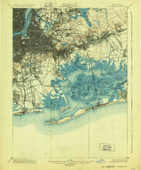
1924 edition
16.4 x 19.9 inches
1931 edition
16.3 x 19.8 inches
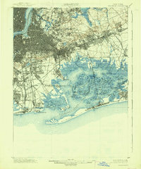
1938 edition
16.4 x 19.7 inches
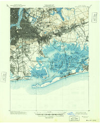
1948 edition
17 x 20.9 inches
Other maps of this area

1888 · Paterson
USGS Topo · 1:62,500

1888 · Sandy Hook
USGS Topo · 1:62,500

1889 · Brooklyn
USGS Topo · 1:62,500

1891 · Brooklyn
USGS Topo · 1:62,500

1891 · Harlem
USGS Topo · 1:62,500

1892 · Paterson
USGS Topo · 1:62,500

1893 · Sandy Hook
USGS Topo · 1:62,500

1897 · Harlem
USGS Topo · 1:62,500

1897 · Brooklyn
USGS Topo · 1:62,500

1897 · Hempstead
USGS Topo · 1:62,500