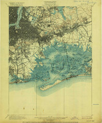
1900 Map of Brooklyn
USGS Topo · Published 1916About this map
Jamaica Bay dominates the southern landscape of this turn-of-the-century survey, revealing a complex network of marshes, channels, and islands before modern landfilling and airport construction transformed the shoreline. The intricate geography of Duck Point Marshes and Big Egg Marsh contrasts with the rapidly densifying street grids of Greenpoint and Hunters Point to the north. Immense burial grounds including Greenwood Cemetery, Evergreens Cemetery, and Cypress Hills Cemetery form a massive green belt across the central hills, a spatial legacy of the era's Rural Cemetery Act.
Find a feature on this map
137 named features on this map. Tap any name to fly to it.
Don’t see what you’re looking for? This feature index may not catch every label — zoom into the map to look around manually.
Map Details
Editions of this 1900 Brooklyn Map
11 editions found

1900 edition
16.6 x 20 inches
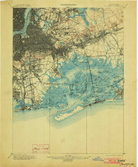
1903 edition
16.6 x 20 inches
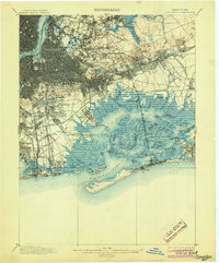
1905 edition
16.6 x 20 inches
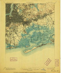
1906 edition
16.6 x 20 inches
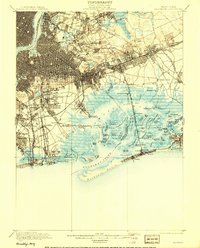
1908 edition
15.99 x 19.83 inches
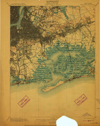
1910 edition
15.7 x 19.8 inches
1916 edition
16.4 x 19.8 inches
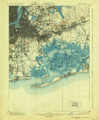
1924 edition
16.4 x 19.9 inches
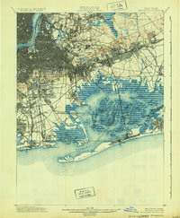
1931 edition
16.3 x 19.8 inches
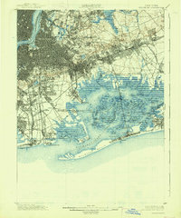
1938 edition
16.4 x 19.7 inches
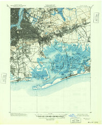
1948 edition
17 x 20.9 inches
Other maps of this area

1888 · Paterson
USGS Topo · 1:62,500

1888 · Sandy Hook
USGS Topo · 1:62,500

1889 · Brooklyn
USGS Topo · 1:62,500

1891 · Brooklyn
USGS Topo · 1:62,500

1891 · Harlem
USGS Topo · 1:62,500

1892 · Paterson
USGS Topo · 1:62,500

1893 · Sandy Hook
USGS Topo · 1:62,500

1897 · Harlem
USGS Topo · 1:62,500

1897 · Brooklyn
USGS Topo · 1:62,500

1897 · Hempstead
USGS Topo · 1:62,500