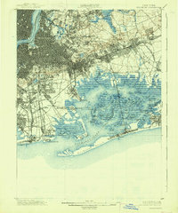
1900 Map of Brooklyn
USGS Topo · Published 1938About this map
Long Island is captured here during a era of intense urban expansion, where the gridiron streets of Brooklyn and Queens press against a wilder, marshy coast. The transition from dense residential wards to the extensive salt marshes of Jamaica Bay is starkly visible. Large tracts are preserved as green space and memorial grounds, including the massive Greenwood Cemetery, Cypress Hills Cemetery, and the landscaped Prospect Park. These parks stand as lungs for the growing metropolis while transit lines like the Long Island RR and the Long Island Electric RR snake outward toward developing suburbs.
Find a feature on this map
134 named features on this map. Tap any name to fly to it.
Don’t see what you’re looking for? This feature index may not catch every label — zoom into the map to look around manually.
Map Details
Editions of this 1900 Brooklyn Map
11 editions found

1900 edition
16.6 x 20 inches
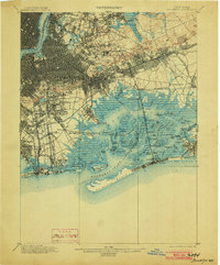
1903 edition
16.6 x 20 inches
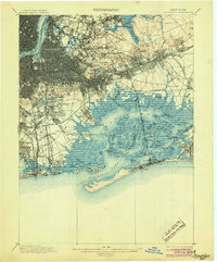
1905 edition
16.6 x 20 inches
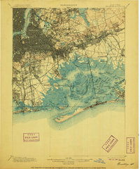
1906 edition
16.6 x 20 inches
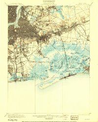
1908 edition
15.99 x 19.83 inches
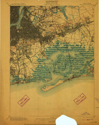
1910 edition
15.7 x 19.8 inches
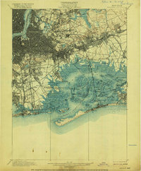
1916 edition
16.4 x 19.8 inches
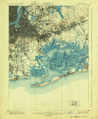
1924 edition
16.4 x 19.9 inches
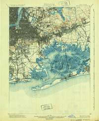
1931 edition
16.3 x 19.8 inches
1938 edition
16.4 x 19.7 inches
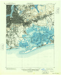
1948 edition
17 x 20.9 inches
Other maps of this area

1888 · Paterson
USGS Topo · 1:62,500

1888 · Sandy Hook
USGS Topo · 1:62,500

1889 · Brooklyn
USGS Topo · 1:62,500

1891 · Brooklyn
USGS Topo · 1:62,500

1891 · Harlem
USGS Topo · 1:62,500

1892 · Paterson
USGS Topo · 1:62,500

1893 · Sandy Hook
USGS Topo · 1:62,500

1897 · Harlem
USGS Topo · 1:62,500

1897 · Brooklyn
USGS Topo · 1:62,500

1897 · Hempstead
USGS Topo · 1:62,500