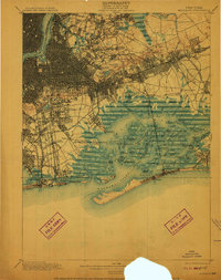
1900 Map of Brooklyn
USGS Topo · Published 1910About this map
Jamaica Bay dominates the southeastern portion of this landscape, a complex network of marshes, channels, and hassocks as they existed at the start of the 20th century. The intricate shoreline features historic points of entry like Canarsie Landing and Remsen Landing, which provided vital access to the bay before extensive modern dredging and land reclamation. To the west, the growing urban grid of Brooklyn Borough and Queens Borough is already well-defined, punctuated by massive greenspaces including Greenwood Cemetery, Prospect Park, and Cypress Hills Cemetery.
Find a feature on this map
131 named features on this map. Tap any name to fly to it.
Don’t see what you’re looking for? This feature index may not catch every label — zoom into the map to look around manually.
Map Details
Editions of this 1900 Brooklyn Map
11 editions found

1900 edition
16.6 x 20 inches
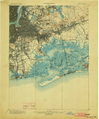
1903 edition
16.6 x 20 inches
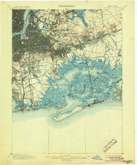
1905 edition
16.6 x 20 inches
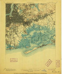
1906 edition
16.6 x 20 inches
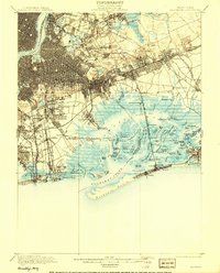
1908 edition
15.99 x 19.83 inches
1910 edition
15.7 x 19.8 inches
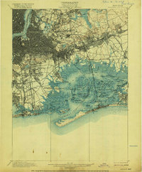
1916 edition
16.4 x 19.8 inches
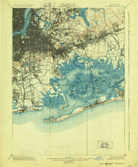
1924 edition
16.4 x 19.9 inches
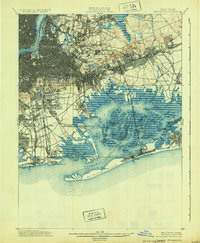
1931 edition
16.3 x 19.8 inches
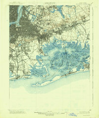
1938 edition
16.4 x 19.7 inches
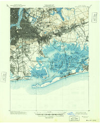
1948 edition
17 x 20.9 inches
Other maps of this area

1888 · Paterson
USGS Topo · 1:62,500

1888 · Sandy Hook
USGS Topo · 1:62,500

1889 · Brooklyn
USGS Topo · 1:62,500

1891 · Brooklyn
USGS Topo · 1:62,500

1891 · Harlem
USGS Topo · 1:62,500

1892 · Paterson
USGS Topo · 1:62,500

1893 · Sandy Hook
USGS Topo · 1:62,500

1897 · Harlem
USGS Topo · 1:62,500

1897 · Brooklyn
USGS Topo · 1:62,500

1897 · Hempstead
USGS Topo · 1:62,500