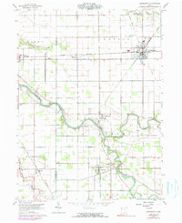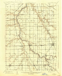
1909 Map of Continental
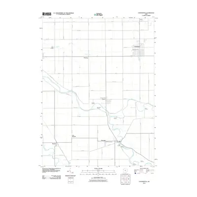
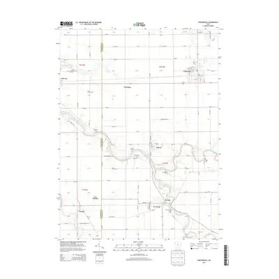
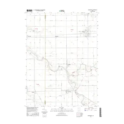
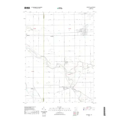
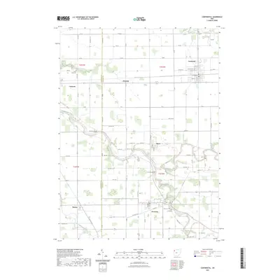
USGS Topo · Published 1943About this map
The Auglaize River meanders north through this northwest Ohio landscape, joined by the Blanchard River and flanked by the Miami and Erie Canal. This 1907-1908 survey captures the dense rail and water infrastructure that defined the region before the canal era fully gave way to modern transport. Major rail lines like the New York, Chicago and St. Louis RR and the Ohio Electric Ry crisscross the townships of Defiance, Auglaize, and Monroe, connecting established towns such as Continental, Oakwood, and Cloverdale. Genealogists and local historians can trace the early drainage and settlement patterns along named waterways like Eagle Creek and Powell Creek, or find smaller hamlets like Charloe, Junction, and Ayersville at a time when local transport was transitioning from water to rail and early electric lines.
Find a feature on this map
56 named features on this map. Tap any name to fly to it.
Don’t see what you’re looking for? This feature index may not catch every label — zoom into the map to look around manually.
Map Details
Editions of this 1909 Continental Map
This is the sole edition of this map. No revisions or reprints were ever made.
Historical Maps of Defiance Through Time
7 maps found