2022 Map of Cook
USGS Topo · Published 2022About this map
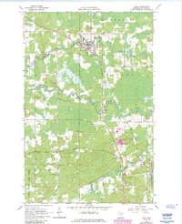
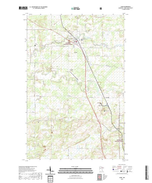
Cook serves as the primary hub in this northern Minnesota landscape, situated where the Little Fork River winds through the northern reaches of the Superior National Forest. The town's layout is well-defined by the convergence of Vermilion Dr and 1st Ave S, with the nearby Cook Municipal Airport providing an important aerial link to this timbered region. The surrounding terrain is a complex network of wetlands and tributaries, including the southern Rice River and Gilmore Cr, which define the local drainage patterns.
Find a feature on this map
53 named features on this map. Tap any name to fly to it.
Don’t see what you’re looking for? This feature index may not catch every label — zoom into the map to look around manually.
Map Details
Editions of this 2022 Cook Map
This is the sole edition of this map. No revisions or reprints were ever made.