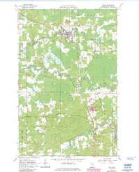
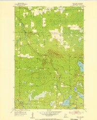
1964 Map of Cook
USGS Topo · Published 1985About this map
The Little Fork River and Rice River wind through the North Woods of St. Louis County, defining a landscape at the junction of the Duluth Winnipeg and Pacific railroad and regional roads. The settlement of Cook serves as the primary hub, where a Ranger Sta, Cook Cem, and the Cook Airport are situated. Further south, the community of Angora sits at the edge of the Superior National Forest, while Leander and Shermans Corner mark secondary road junctions.
Find a feature on this map
23 named features on this map. Tap any name to fly to it.
Don’t see what you’re looking for? This feature index may not catch every label — zoom into the map to look around manually.
Map Details
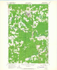
Editions of this 1964 Cook Map
2 editions found
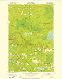
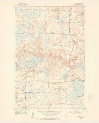
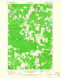
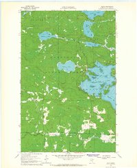
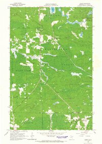
Other maps of this area
1951 · Britt
USGS Topo · 1:24,000
1952 · Idington
USGS Topo · 1:24,000

1954 · Hibbing
USGS Topo · 1:250,000
1955 · Dark Lake
USGS Topo · 1:24,000

1957 · Hibbing
USGS Topo · 1:250,000

1958 · Hibbing
USGS Topo · 1:250,000

1964 · Hibbing
USGS Topo · 1:250,000
1964 · Linden Grove
USGS Topo · 1:24,000
1964 · Haley
USGS Topo · 1:24,000
1964 · Gheen
USGS Topo · 1:24,000