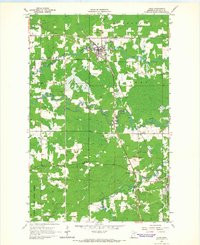
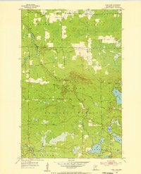
1964 Map of Cook
USGS Topo · Published 1966About this map
The Little Fork River and Rice River converge in this northern Minnesota landscape, centering on the logging and sawmill hub of Cook. Surveyed in the mid-1960s, the map reveals a community structured by the Duluth Winnipeg and Pacific railroad and a network of rural townships including Field, Owens, and Alango. The terrain is marked by numerous Gravel Pits and a Quarry, reflecting the local extraction industries of St. Louis County.
Find a feature on this map
22 named features on this map. Tap any name to fly to it.
Don’t see what you’re looking for? This feature index may not catch every label — zoom into the map to look around manually.
Map Details
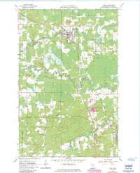
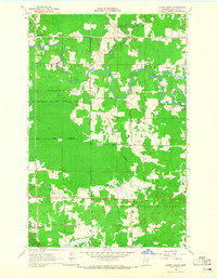
Editions of this 1964 Cook Map
2 editions found
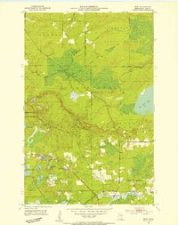
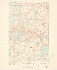
Other maps of this area
1951 · Britt
USGS Topo · 1:24,000
1952 · Idington
USGS Topo · 1:24,000

1954 · Hibbing
USGS Topo · 1:250,000
1955 · Dark Lake
USGS Topo · 1:24,000

1957 · Hibbing
USGS Topo · 1:250,000

1958 · Hibbing
USGS Topo · 1:250,000

1964 · Hibbing
USGS Topo · 1:250,000
1964 · Linden Grove
USGS Topo · 1:24,000
1964 · Haley
USGS Topo · 1:24,000
1964 · Gheen
USGS Topo · 1:24,000