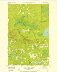
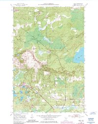
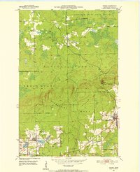
1951 Map of Britt
USGS Topo · Published 1953About this map
Superior National Forest and the Kabetogama State Forest dominate this early 1950s landscape, where public lands and game refuges shape the patterns of settlement. The Duluth Winnipeg and Pacific Railroad cuts a diagonal line across the terrain, passing through the small community of Forsman and continuing south toward Britt. This era of the Iron Range shows a land defined by water and woods, with numerous smaller bodies like Wagon Wheel Lake, Jammer Lake, and New Richmond Lake scattered throughout the glacial terrain.
Find a feature on this map
28 named features on this map. Tap any name to fly to it.
Don’t see what you’re looking for? This feature index may not catch every label — zoom into the map to look around manually.
Map Details
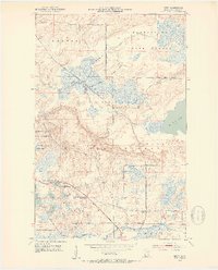
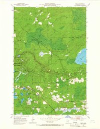
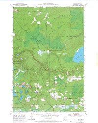
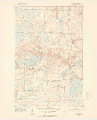
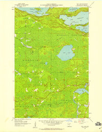
Editions of this 1951 Britt Map
5 editions found
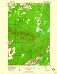
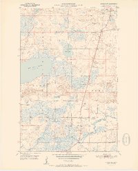
Other maps of this area
1950 · Mc Kinley
USGS Topo · 1:24,000

1950 · Biwabik NW
USGS Topo · 1:24,000

1951 · Mc Kinley
USGS Topo · 1:24,000
1951 · Biwabik NW
USGS Topo · 1:24,000
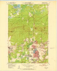
1951 · Virginia
USGS Topo · 1:24,000
1951 · Kinney
USGS Topo · 1:24,000
1952 · Idington
USGS Topo · 1:24,000

1954 · Hibbing
USGS Topo · 1:250,000
1956 · Lost Lake
USGS Topo · 1:24,000

1957 · Hibbing
USGS Topo · 1:250,000