2022 Map of Coon Valley
USGS Topo · Published 2022About this map
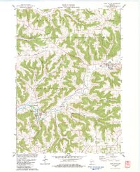
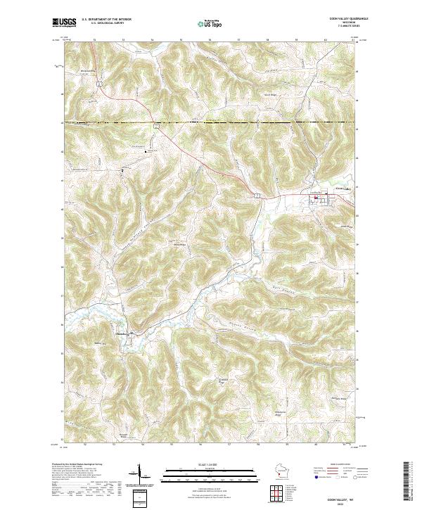
The village of Coon Valley and the smaller settlement of Chaseburg anchor this topographical study of the Driftless Area near the border of La Crosse and Vernon counties. The landscape is defined by its characteristic coulees and steep ridges, including Brinkman Ridge, Misna Ridge, and Gronvold Ridge. Water drainage is primarily managed by Coon Creek and Husley Creek, which navigate the deep valleys. Genealogists will find the locations of Hellwig Cemetery and Krause Cemetery particularly useful for identifying family sites within these rural townships. The map also records numerous local hollows and coulees, such as Koll Coulee and Dodson Hollow, illustrating the complex network of narrow roads like County Highway MM and County Road N that connect these dispersed agricultural communities and ridge-top homesteads.
Find a feature on this map
94 named features on this map. Tap any name to fly to it.
Don’t see what you’re looking for? This feature index may not catch every label — zoom into the map to look around manually.
Map Details
Editions of this 2022 Coon Valley Map
This is the sole edition of this map. No revisions or reprints were ever made.