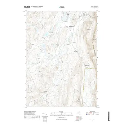
2019 Map of Copake
USGS Topo · Published 2019About this map
Roeliff Jansen Kill winds through the Columbia County landscape, anchoring a region defined by its narrow valleys and distinctive ridges. This modern survey captures the complex topography between Washburn Mtn and the lowlands of the Drowned Lands Swamp. The settlement pattern remains centered on historic nodes like Copake Hamlet and Ancramdale, where the geography of the valley floor dictated road placement and community growth. Evidence of the region's industrial past is preserved in place names like Weed Mines, while the presence of Old Saint Bridget's Cem and the West Copake Cem provides vital points of reference for genealogical research. The map also delineates the precise boundaries where New York meets Massachusetts, cutting through the high ground of Alander Mtn and passing near the tri-point vicinity of Boston Corner.
Find a feature on this map
107 named features on this map. Tap any name to fly to it.
Don’t see what you’re looking for? This feature index may not catch every label — zoom into the map to look around manually.
Map Details
Editions of this 2019 Copake Map
This is the sole edition of this map. No revisions or reprints were ever made.
Other maps of this area

1885 · Sheffield
USGS Topo · 1:62,500

1888 · Sheffield
USGS Topo · 1:62,500

1891 · Sheffield
USGS Topo · 1:62,500

1892 · Cornwall
USGS Topo · 1:62,500

1893 · Sheffield
USGS Topo · 1:62,500

1893 · Cornwall
USGS Topo · 1:62,500

1897 · Sheffield
USGS Topo · 1:62,500

1899 · Housatonic
USGS Topo · 1:125,000

1899 · Millbrook
USGS Topo · 1:62,500

1900 · Housatonic
USGS Topo · 1:125,000