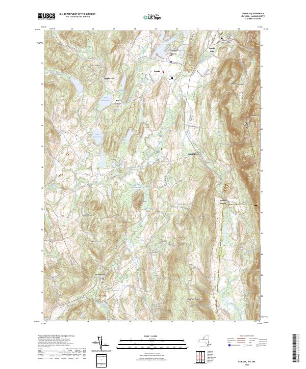
2023 Map of Copake
USGS Topo · Published 2023About this map
Roeliff Jansen Kill winds through this Hudson Valley landscape, anchoring a network of agricultural hamlets and water-bound communities. The area is defined by its transition from the valley floor to the prominent Taconic Range along the Massachusetts border, where summits like Washburn Mountain and Alander Mtn overlook the drainage of Bash Bish Brook. Significant local history is preserved in the placement of West Copake Cem and Saint Bridget's Cem, while the industrial past is visible at Weed Mines near Boston Corner.
Find a feature on this map
85 named features on this map. Tap any name to fly to it.
Don’t see what you’re looking for? This feature index may not catch every label — zoom into the map to look around manually.
Map Details
Editions of this 2023 Copake Map
This is the sole edition of this map. No revisions or reprints were ever made.
Other maps of this area

1885 · Sheffield
USGS Topo · 1:62,500

1888 · Sheffield
USGS Topo · 1:62,500

1891 · Sheffield
USGS Topo · 1:62,500

1892 · Cornwall
USGS Topo · 1:62,500

1893 · Sheffield
USGS Topo · 1:62,500

1893 · Cornwall
USGS Topo · 1:62,500

1897 · Sheffield
USGS Topo · 1:62,500

1899 · Housatonic
USGS Topo · 1:125,000

1899 · Millbrook
USGS Topo · 1:62,500

1900 · Housatonic
USGS Topo · 1:125,000