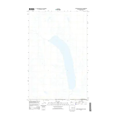
2014 Map of Copper Mountain OE N
USGS Topo · Published 2014About this map
The international border between Canada and the United States of America defines the southern reach of this 2014 survey. This specialized 7.5-minute sheet focuses on a high-latitude drainage basin, where steep topographic drainages feed a long, narrow lake system that crosses into Whatcom County, Washington. The map reflects a remote wilderness character, showing almost no human infrastructure or named settlements, instead emphasizing the primary hydrographic features and the geopolitical line where the American Pacific Northwest meets British Columbia. As an "OE N" (overedge north) quadrangle, it serves to document the northern extension of American survey grids into the Canadian landscape, providing a rare look at the unpopulated mountainous interior just across the border.
Find a feature on this map
3 named features on this map. Tap any name to fly to it.
Don’t see what you’re looking for? This feature index may not catch every label — zoom into the map to look around manually.
Map Details
Editions of this 2014 Copper Mountain OE N Map
This is the sole edition of this map. No revisions or reprints were ever made.
Other maps of this area

1909 · Mt Baker
USGS Topo · 1:192,000

1915 · Mt. Baker
USGS Topo · 1:250,000

1953 · Mt Shuksan
USGS Topo · 1:62,500

1953 · Mt Challenger
USGS Topo · 1:62,500

1955 · Concrete
USGS Topo · 1:250,000

1958 · Concrete
USGS Topo · 1:250,000

1962 · Concrete
USGS Topo · 1:250,000

1979 · Mt. Baker
USGS Topo · 1:100,000
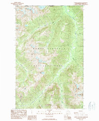
1989 · Copper Mountain
USGS Topo · 1:24,000
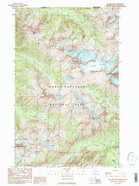
1989 · Mt Redoubt
USGS Topo · 1:24,000