2022 Map of Corbin
USGS Topo · Published 2022About this map
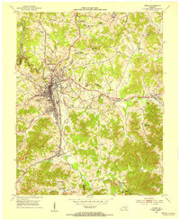
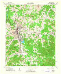
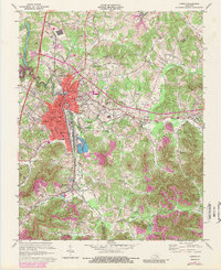
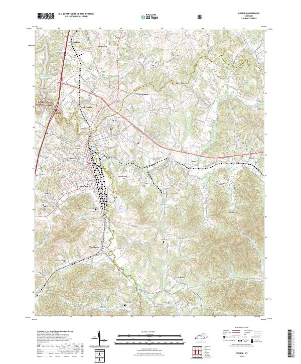
Corbin and its surrounding communities are mapped here at the complex convergence of Whitley, Knox, and Laurel counties. This modern survey illustrates the residential and commercial density of North Corbin and Moore Hill, while tracing the course of Lynn Camp Creek and its many tributaries like the E Fork Lynn Camp Cr. The landscape is defined by its deep historical roots, evident in the numerous family and community burial grounds such as Rest Haven Cem, Pine Hill Cem, and the Bingham Cem near the town center. To the west, the protected acreage of the Daniel Boone National Forest borders the Corbin City Reservoir and the reaches of Laurel River Lake. Further south, the map documents smaller settlements like Woodbine, Wilton, and Siler, providing a detailed view of the regional road network connecting these Appalachian foothills.
Find a feature on this map
49 named features on this map. Tap any name to fly to it.
Don’t see what you’re looking for? This feature index may not catch every label — zoom into the map to look around manually.
Map Details
Editions of this 2022 Corbin Map
This is the sole edition of this map. No revisions or reprints were ever made.
Historical Maps of Moore Hill Through Time
7 maps found