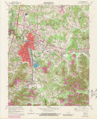
1970 Map of Corbin
USGS Topo · Published 1989About this map
Corbin and North Corbin anchor this 1970 landscape, where the Louisville and Nashville railroad tracks follow the winding course of Lynn Camp Creek. The map documents a period of transition as the town's footprint expands southward toward Woodbine, evidenced by the development of the Park Hills Cemetery and the presence of institutions like St Camillus Academy. Outside the urban center, the terrain is defined by extractive and industrial activity, from scattered mines and strip mines near Wilton to the Industrial Waste Ponds south of town.
Find a feature on this map
57 named features on this map. Tap any name to fly to it.
Don’t see what you’re looking for? This feature index may not catch every label — zoom into the map to look around manually.
Map Details
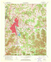
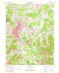
Editions of this 1970 Corbin Map
3 editions found
Other maps of this area

1886 · Cumberland Gap
USGS Topo · 1:125,000

1888 · Cumberland Gap
USGS Topo · 1:125,000

1890 · Williamsburg
USGS Topo · 1:125,000

1891 · Manchester
USGS Topo · 1:125,000

1891 · Cumberland Gap
USGS Topo · 1:125,000

1893 · London
USGS Topo · 1:125,000

1894 · Williamsburg
USGS Topo · 1:125,000

1897 · London
USGS Topo · 1:125,000

1952 · Corbin
USGS Topo · 1:24,000

1952 · Wofford
USGS Topo · 1:24,000