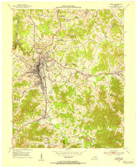
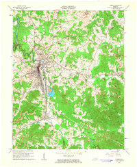
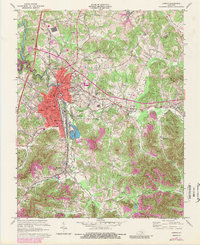
1958 Map of Corbin
USGS Topo · Published 1958About this map
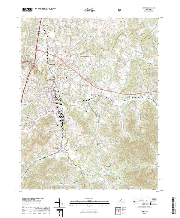
Lake Cumberland and Dale Hollow Res dominate the Upper Cumberland region on this 1950s survey, illustrating the massive post-war transformation of the Kentucky-Tennessee borderlands. The landscape transitions from the river-fed plateaus near Cookeville and Livingston to the sharp ridges of Pine Mountain and the Cumberland Mountain range. Large tracts of public land are already established, including the Cumberland National Forest and the Catoosa Wildlife Management Area (State), reflecting the shift toward conservation and recreation in the mid-20th century. To the east, the atomic-age development of Oak Ridge sits in contrast to the traditional market towns like Monticello and Albany. This map captures the area as modern highways began to bypass old river routes, connecting towns like Corbin and La Follette to a growing national network.
Find a feature on this map
110 named features on this map. Tap any name to fly to it.
Don’t see what you’re looking for? This feature index may not catch every label — zoom into the map to look around manually.
Map Details
Editions of this 1958 Corbin Map
This is the sole edition of this map. No revisions or reprints were ever made.
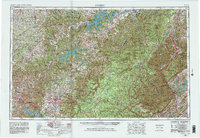
Historical Maps of Broadacres Through Time
7 maps found