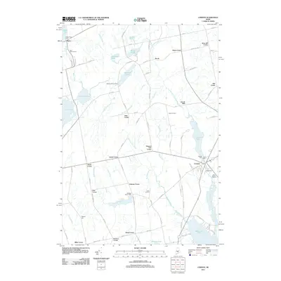
2011 Map of Corinna
USGS Topo · Published 2011About this map
The village of Corinna serves as a focal point in this portion of Penobscot County, where the industrial legacy of the East Branch Sebasticook River is evident in the cluster of the Upper Dam, Middle Dam, and Lower Dam. These waterworks, along with Corundel Lake, highlight a landscape shaped by historical milling and water management. Rural intersections throughout the area, such as Lyford Corner, Dixie Corner, and Lincoln Mills, indicate a settlement pattern of dispersed agricultural and small-scale industrial hamlets.
Find a feature on this map
96 named features on this map. Tap any name to fly to it.
Don’t see what you’re looking for? This feature index may not catch every label — zoom into the map to look around manually.
Map Details
Editions of this 2011 Corinna Map
This is the sole edition of this map. No revisions or reprints were ever made.
Other maps of this area

1930 · Pittsfield
USGS Topo · 1:48,000

1931 · Stetson
USGS Topo · 1:48,000

1932 · Dover-Foxcroft
USGS Topo · 1:48,000

1932 · Pittsfield
USGS Topo · 1:62,500

1933 · Pittsfield
USGS Topo · 1:62,500

1933 · Guilford
USGS Topo · 1:62,500

1935 · Dover-Foxcroft
USGS Topo · 1:62,500

1935 · Stetson
USGS Topo · 1:62,500

1937 · Guilford
USGS Topo · 1:62,500

1948 · Bangor
USGS Topo · 1:250,000