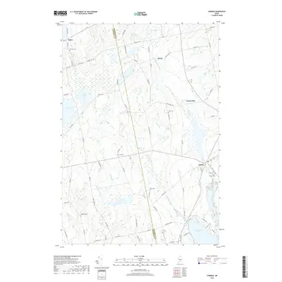
2018 Map of Corinna
USGS Topo · Published 2018About this map
Corinna and its surroundings are defined by the winding waters of the East Branch Sebasticook River and the northern reach of Sebasticook Lake. This 2018 survey illustrates a rural Maine landscape where small settlements like Lincoln Mills and Moody are connected by a network of local roads such as Lincolns Mills Rd and Moody Mills Rd, hinting at the area's timber and milling heritage. The terrain is marked by significant wetlands and water bodies, including Weymouth Pond, Indian Pond, and the expansive Martin Bog to the north.
Find a feature on this map
85 named features on this map. Tap any name to fly to it.
Don’t see what you’re looking for? This feature index may not catch every label — zoom into the map to look around manually.
Map Details
Editions of this 2018 Corinna Map
This is the sole edition of this map. No revisions or reprints were ever made.
Other maps of this area

1930 · Pittsfield
USGS Topo · 1:48,000

1931 · Stetson
USGS Topo · 1:48,000

1932 · Dover-Foxcroft
USGS Topo · 1:48,000

1932 · Pittsfield
USGS Topo · 1:62,500

1933 · Pittsfield
USGS Topo · 1:62,500

1933 · Guilford
USGS Topo · 1:62,500

1935 · Dover-Foxcroft
USGS Topo · 1:62,500

1935 · Stetson
USGS Topo · 1:62,500

1937 · Guilford
USGS Topo · 1:62,500

1948 · Bangor
USGS Topo · 1:250,000