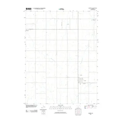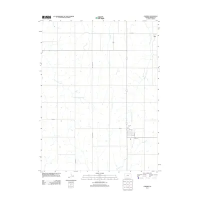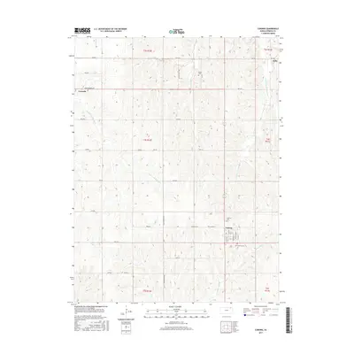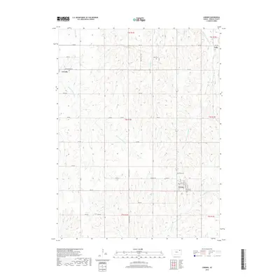
1969 Map of Corning
USGS Topo · Published 1971About this map
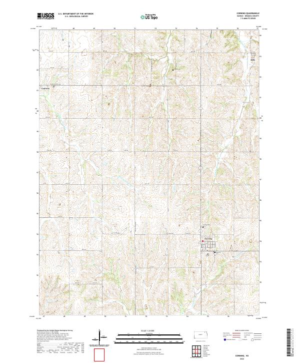
The agrarian landscape of southern Nemaha County is defined by the intersection of rail and river commerce as seen in this 1960s survey. The town of Corning serves as a local hub along the Missouri Pacific railroad line, which cuts diagonally across the prairie. The surrounding townships, including Illinois and Mitchell, are characterized by a dense network of watercourses such as the Black Vermillion River and Illinois Creek. Genealogists will find significant local-history detail in the distribution of family and parish landmarks, including St Patrick Cem just south of the Corning townsite and Roots Cem further north. The map also captures the early footprints of Centralia on the western edge and Kelly to the northeast, illustrating the established rural settlement pattern of the Kansas plains during this era.
Find a feature on this map
19 named features on this map. Tap any name to fly to it.
Don’t see what you’re looking for? This feature index may not catch every label — zoom into the map to look around manually.
Map Details
Editions of this 1969 Corning Map
This is the sole edition of this map. No revisions or reprints were ever made.
Historical Maps of Centralia Through Time
6 maps found