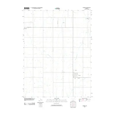
2009 Map of Corning
USGS Topo · Published 2009About this map
Corning anchors the southeastern corner of this Nemaha County landscape, where the local street grid including Atlantic and 4th St meets the rural road network. The region is defined by its drainage systems, most notably the South Fork Nemaha River and the Black Vermillion River, which weave through a landscape of structured agricultural sections. For genealogists, the map provides precise locations for several burial grounds, including Roots Cemetery near Illinois Creek and Saint Patrick Cemetery on the edge of town. Local transportation history is evident in the naming of rural routes such as the Old Nine Hwy and the Nightingale Tpke, while the small settlements of Centralia and Kelly appear on the western and northern fringes, respectively.
Find a feature on this map
17 named features on this map. Tap any name to fly to it.
Don’t see what you’re looking for? This feature index may not catch every label — zoom into the map to look around manually.
Map Details
Editions of this 2009 Corning Map
This is the sole edition of this map. No revisions or reprints were ever made.
Other maps of this area

1888 · Hiawatha
USGS Topo · 1:125,000

1889 · Seneca
USGS Topo · 1:125,000

1894 · Seneca
USGS Topo · 1:125,000

1894 · Hiawatha
USGS Topo · 1:125,000

1950 · Kansas City
USGS Topo · 1:250,000

1954 · Kansas City
USGS Topo · 1:250,000

1955 · Manhattan
USGS Topo · 1:250,000

1956 · Manhattan
USGS Topo · 1:250,000

1956 · Kansas City
USGS Topo · 1:250,000

1957 · Manhattan
USGS Topo · 1:250,000