
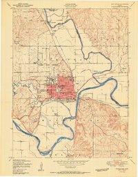
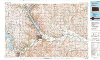
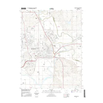
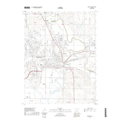
1956 Map of Manhattan
USGS Topo · Published 1956About this map
Fort Riley Military Reservation sits at the confluence of the Smoky Hill River and Republican River, forming the headwaters of the Kansas River in this mid-1950s survey. The landscape is defined by the convergence of major rail networks, including the Union Pacific RR and the Atchison Topeka and Santa Fe Ry, which connect regional centers like Manhattan and Junction City to the surrounding agricultural plains.
Find a feature on this map
192 named features on this map. Tap any name to fly to it.
Don’t see what you’re looking for? This feature index may not catch every label — zoom into the map to look around manually.
Map Details
Editions of this 1956 Manhattan Map
This is the sole edition of this map. No revisions or reprints were ever made.
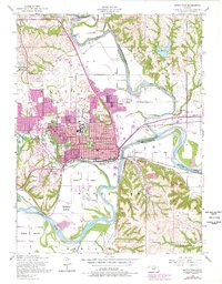
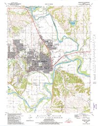
Historical Maps of Manhattan Through Time
15 maps found

1947 Manhattan
Riley County, KS
1950 Manhattan
Riley County, KS
1955 Manhattan
Riley County, KS
1955 Manhattan
Riley County, KS
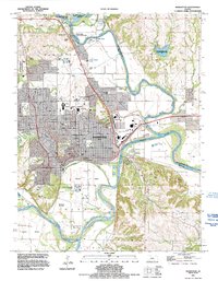
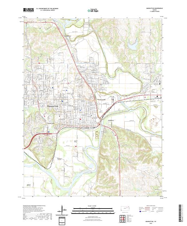
1956 Manhattan
Riley County, KS

1957 Manhattan
Riley County, KS
1982 Manhattan
Riley County, KS

1985 Manhattan
Riley County, KS
1990 Manhattan
Riley County, KS
1991 Manhattan
Riley County, KS
2010 Manhattan
Riley County, KS
2012 Manhattan
Riley County, KS
2016 Manhattan
Riley County, KS
2018 Manhattan
Riley County, KS
2022 Manhattan
Riley County, KS