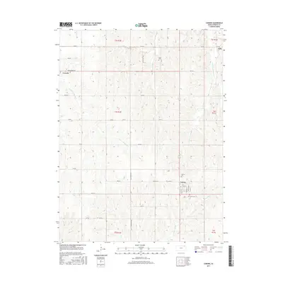
2015 Map of Corning
USGS Topo · Published 2015About this map
The small town of Corning and its surrounding agricultural township are the focus of this contemporary topographical study. Located in the southwestern corner of Nemaha County, the landscape is defined by the branching tributaries of the Black Vermillion River and S Fork Big Nemaha River, which carve subtle valleys through the prairie. Local history and genealogy researchers will find several well-marked burial grounds, including Saint Patricks Cem and Corning Cem near the town site, as well as the more isolated Roots Cem to the north.
Find a feature on this map
45 named features on this map. Tap any name to fly to it.
Don’t see what you’re looking for? This feature index may not catch every label — zoom into the map to look around manually.
Map Details
Editions of this 2015 Corning Map
This is the sole edition of this map. No revisions or reprints were ever made.
Other maps of this area

1888 · Hiawatha
USGS Topo · 1:125,000

1889 · Seneca
USGS Topo · 1:125,000

1894 · Seneca
USGS Topo · 1:125,000

1894 · Hiawatha
USGS Topo · 1:125,000

1950 · Kansas City
USGS Topo · 1:250,000

1954 · Kansas City
USGS Topo · 1:250,000

1955 · Manhattan
USGS Topo · 1:250,000

1956 · Manhattan
USGS Topo · 1:250,000

1956 · Kansas City
USGS Topo · 1:250,000

1957 · Manhattan
USGS Topo · 1:250,000