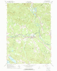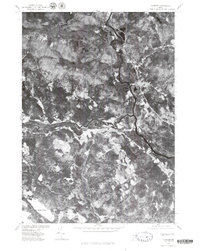
1975 Map of Cornish
USGS Topo · Published 1979About this map
The confluence of the Saco River and the Ossipee River dominates this mid-1970s orthophotoquad of the Maine interior. Unlike a traditional line-drawn topographic map, this aerial survey provides a direct photographic record of the landscape as it appeared in the spring of 1975. The settlement of Cornish is positioned at the junction of these two major waterways, which historically served as vital corridors for timber and early commerce in York County. To the north, the winding course of the Saco River passes near West Baldwin, while the wooded uplands to the west are home to the smaller communities of Durgintown and Ossipee. In the southwestern corner, the shoreline of Long Pond is visible, reflecting the mixed terrain of agricultural clearings and dense forest that characterizes this region of New England.
Find a feature on this map
7 named features on this map. Tap any name to fly to it.
Don’t see what you’re looking for? This feature index may not catch every label — zoom into the map to look around manually.
Map Details
Editions of this 1975 Cornish Map
This is the sole edition of this map. No revisions or reprints were ever made.
Historical Maps of Limington Through Time
7 maps found