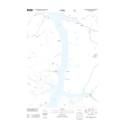
2013 Map of Cornplanter Run
USGS Topo · Published 2013About this map
The Allegheny Reservoir dominates this landscape, creating a jagged, water-filled corridor along the border of New York and Pennsylvania. This modern topographic study shows the transformed geography of the Allegheny River valley, where the rising waters shaped a new recreational environment defined by access points like Webbs Ferry Boat Access and the Roper Hollow Boat Ramp. The eastern shore is particularly well-developed for outdoorsmen, featuring a string of remote sites including Hooks Brook Campground, Handsome Lake Campground, and Hopewell Campground. Inland from the water, the terrain is carved by numerous drainages such as Cornplanter Run and Nelse Run. Small settlements and landmarks like Red Oaks, Bullis Hollow, and Camp Olmsted are linked by a network of forest roads including Scandia Rd and Cornplanter Rd, providing a clear record of local infrastructure in the early 21st century.
Find a feature on this map
45 named features on this map. Tap any name to fly to it.
Don’t see what you’re looking for? This feature index may not catch every label — zoom into the map to look around manually.
Map Details
Editions of this 2013 Cornplanter Run Map
This is the sole edition of this map. No revisions or reprints were ever made.
Other maps of this area

1905 · Jamestown
USGS Topo · 1:62,500

1906 · Warren
USGS Topo · 1:62,500

1907 · Warren
USGS Topo · 1:62,500

1908 · Warren
USGS Topo · 1:62,500

1922 · Randolph
USGS Topo · 1:62,500

1923 · Randolph
USGS Topo · 1:62,500

1936 · Kinzua
USGS Topo · 1:48,000

1941 · Kinzua
USGS Topo · 1:62,500

1942 · Jamestown
USGS Topo · 1:62,500

1943 · Randolph
USGS Topo · 1:62,500