1956 Map of Cortez
USGS Topo · Published 1979About this map
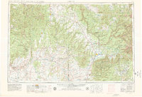
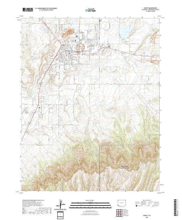
The Mesa Verde plateau and the sprawling high deserts of the Four Corners region dominate this mid-century landscape. The map details the intricate relationship between the canyon-cut terrain and early agricultural settlements like Dove Creek, Monticello, and Blanding. Evidence of the region’s deep cultural history is visible through the boundaries of the Navajo, Ute Mountain, and Southern Ute Indian Reservation lands, alongside dedicated preservation sites such as Hovenweep National Monument and Yucca House National Monument. The rugged topography, defined by Comb Ridge and the Abajo Mountains, is punctuated by isolated outposts like Mexican Hat and Aneth along the San Juan River. The presence of Fort Lewis A & M College near the eastern edge provides a specific marker of the era's institutional development amidst the vast San Juan National Forest and Manti-La Sal National Forest.
Find a feature on this map
77 named features on this map. Tap any name to fly to it.
Don’t see what you’re looking for? This feature index may not catch every label — zoom into the map to look around manually.
Map Details
Editions of this 1956 Cortez Map
2 editions found

Historical Maps of Cortez Through Time
12 maps found
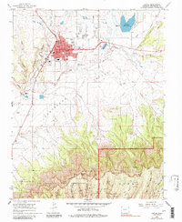
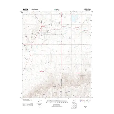
1956 Cortez
Montezuma County, CO

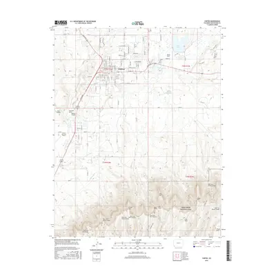
1958 Cortez
Montezuma County, CO

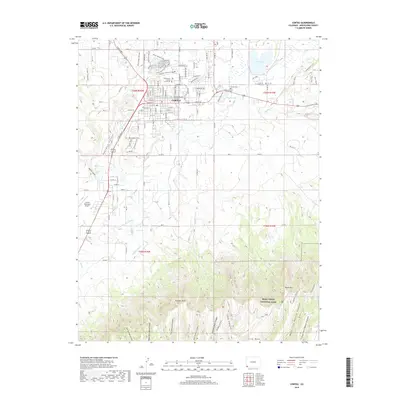
1959 Cortez
Montezuma County, CO

1962 Cortez
Montezuma County, CO
1965 Cortez
Montezuma County, CO

1966 Cortez
Montezuma County, CO
1982 Cortez
Montezuma County, CO
2010 Cortez
Montezuma County, CO
2013 Cortez
Montezuma County, CO
2016 Cortez
Montezuma County, CO
2019 Cortez
Montezuma County, CO
2022 Cortez
Montezuma County, CO