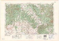
1958 Map of Cortez
USGS Topo · Published 1958About this map
Mesa Verde National Park and the expansive Navajo Indian Reservation dominate this landscape during the mid-century, documenting a region defined by ancient history and high-altitude geography. The map illustrates the convergence of Utah, Colorado, Arizona, and New Mexico, centered on the growing community of Cortez and the surrounding agricultural settlements like Dove Creek and Pleasant View. This 1950s survey provides a look at the early infrastructure of Fort Lewis A&M College and the complex drainage of the San Juan River and Dolores River basins.
Find a feature on this map
73 named features on this map. Tap any name to fly to it.
Don’t see what you’re looking for? This feature index may not catch every label — zoom into the map to look around manually.
Map Details
Editions of this 1958 Cortez Map
This is the sole edition of this map. No revisions or reprints were ever made.
Other maps of this area
1883 · Marsh Pass
USGS Topo · 1:250,000
1885 · San Rafael
USGS Topo · 1:250,000
1885 · La Sal
USGS Topo · 1:250,000
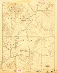
1886 · Henry Mountains
USGS Topo · 1:250,000
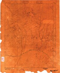
1886 · Abajo
USGS Topo · 1:250,000
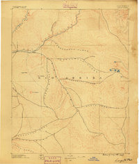
1889 · Largo
USGS Topo · 1:250,000
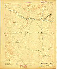
1889 · Chaco
USGS Topo · 1:250,000
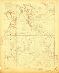
1892 · Marsh Pass
USGS Topo · 1:250,000
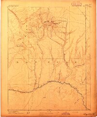
1892 · Abajo
USGS Topo · 1:250,000
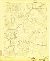
1892 · Henry Mountains
USGS Topo · 1:250,000