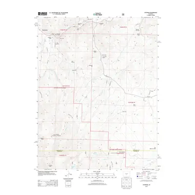
2013 Map of Cotopaxi
USGS Topo · Published 2013About this map
The Arkansas River Canyon carves a deep path through the northern reaches of this Colorado landscape, where the settlement of Cotopaxi sits at the confluence of Oak Cr and the main waterway. To the west, the smaller community of Pleasanton is framed by the steep terrain of Gobblers Knob and Pole Mountain. The topography is defined by a dense network of gulches, including the ominously named Deadmans Hill and Cave-in Gulch, reflecting a history of prospecting and ranching in the high country.
Find a feature on this map
58 named features on this map. Tap any name to fly to it.
Don’t see what you’re looking for? This feature index may not catch every label — zoom into the map to look around manually.
Map Details
Editions of this 2013 Cotopaxi Map
This is the sole edition of this map. No revisions or reprints were ever made.
Other maps of this area

1950 · Valley View Hot Springs
USGS Topo · 1:24,000

1954 · Pueblo
USGS Topo · 1:250,000

1957 · Pueblo
USGS Topo · 1:250,000

1958 · Pueblo
USGS Topo · 1:250,000

1958 · Beckwith Mountain
USGS Topo · 1:24,000

1959 · Electric Peak
USGS Topo · 1:62,500

1959 · Howard
USGS Topo · 1:62,500

1959 · Cotopaxi
USGS Topo · 1:62,500

1962 · Pueblo
USGS Topo · 1:250,000

1966 · Pueblo
USGS Topo · 1:250,000