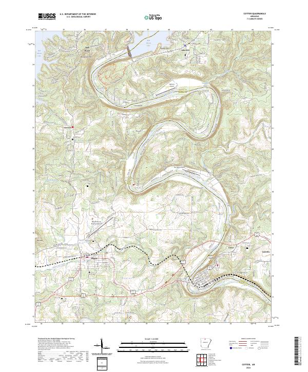
2024 Map of Cotter
USGS Topo · Published 2024About this map
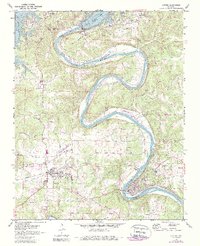
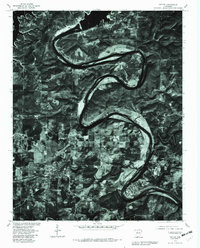
The White River winds through the heart of north-central Arkansas, defining the boundary between Marion and Baxter counties as it flows past the established settlements of Cotter and Flippin. This corridor is characterized by its reliance on the river and the massive Bull Shoals Lake to the northwest, which is hemmed in by Bull Shoals Mtn. Local aviation is well-represented by multiple facilities, including the Marion County Regional Airport and The Valley Airport, alongside Gastons Airport situated right on the riverbank.
Find a feature on this map
213 named features on this map. Tap any name to fly to it.
Don’t see what you’re looking for? This feature index may not catch every label — zoom into the map to look around manually.
Map Details
Editions of this 2024 Cotter Map
This is the sole edition of this map. No revisions or reprints were ever made.