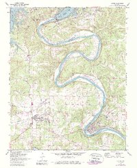
1972 Map of Cotter
USGS Topo · Published 1988About this map
Bull Shoals Lake and the winding White River dominate this Ozark landscape during a period of significant recreational and infrastructure development. The massive Bull Shoals Dam stands at the north, creating a sprawling reservoir while the river below snakes through steep bends past Bull Shoals State Park and Cane Island. Transportation networks are well-defined by the Missouri Pacific railroad corridor, which serves the established communities of Flippin and Cotter. The map reveals the area's transition into a regional hub with the Marion Co Regional Airport and several remote airstrips like the Gaston Landing Strip. Genealogists will find numerous family and community landmarks, including the Burch Cem, Hurst Cem, and Antioch Ch, alongside evidence of the area's industrial past such as the Old Railroad Grade and various quarries.
Find a feature on this map
47 named features on this map. Tap any name to fly to it.
Don’t see what you’re looking for? This feature index may not catch every label — zoom into the map to look around manually.
Map Details
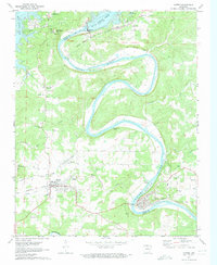
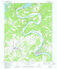
Editions of this 1972 Cotter Map
3 editions found
Other maps of this area

1890 · Mountain Home
USGS Topo · 1:125,000

1891 · Mountain Home
USGS Topo · 1:125,000

1893 · Yellville
USGS Topo · 1:125,000

1894 · Mountain Home
USGS Topo · 1:125,000

1903 · Yellville
USGS Topo · 1:125,000

1905 · Yellville
USGS Topo · 1:125,000

1929 · Yellville
USGS Topo · 1:125,000

1945 · Harrison
USGS Topo · 1:250,000

1949 · Harrison
USGS Topo · 1:250,000

1954 · Harrison
USGS Topo · 1:250,000