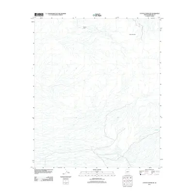
2011 Map of Cotton Center SE
USGS Topo · Published 2011About this map
Sheep Mountain dominates this portion of the Sonoran landscape, presiding over a drainage network that defines the arid character of Maricopa County. This 2011 survey by the U.S. Geological Survey captures the intricate topography of the region, where water management is highlighted by essential desert infrastructure like Gap Tank and Fortymile Desert Tank. The rugged northern portion is marked by the distinct landform of Margies Cove, while human presence is restricted to minimal access points such as W Woods Rd. The map illustrates the fundamental relationship between terrain and water in the Arizona desert, where named tanks serve as critical landmarks in an otherwise unforgiving environment.
Find a feature on this map
5 named features on this map. Tap any name to fly to it.
Don’t see what you’re looking for? This feature index may not catch every label — zoom into the map to look around manually.
Map Details
Editions of this 2011 Cotton Center SE Map
This is the sole edition of this map. No revisions or reprints were ever made.
Other maps of this area

1951 · Estrella
USGS Topo · 1:62,500

1951 · Gila Bend
USGS Topo · 1:62,500

1951 · Mobile
USGS Topo · 1:62,500

1951 · Cotton Center
USGS Topo · 1:62,500

1953 · Ajo
USGS Topo · 1:250,000

1954 · Phoenix
USGS Topo · 1:250,000

1957 · Ajo
USGS Topo · 1:250,000

1957 · Phoenix
USGS Topo · 1:250,000

1958 · Ajo
USGS Topo · 1:250,000

1958 · Phoenix
USGS Topo · 1:250,000