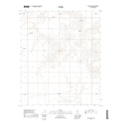
2018 Map of Cotton Center SE
USGS Topo · Published 2018About this map
Maricopa Mountains dominate the central and eastern sections of this high-desert survey, providing a sharp contrast to the flat alluvial plains nearby. To the northwest, the prominent Gila Bend landform anchors the terrain where the regional hydrology shifts. This 2018 topographic data highlights the complex drainage patterns of the Sonoran Desert, including the localized depression at Margies Cove. The map tracks the township and range lines across three different ranges, showing the transition from the rugged slopes of Sheep Mtn to the vast open spaces of the Gila River valley. The absence of modern development in these sections preserves a look at the natural landscape as it existed before the encroaching expansion of central Arizona's population centers.
Find a feature on this map
13 named features on this map. Tap any name to fly to it.
Don’t see what you’re looking for? This feature index may not catch every label — zoom into the map to look around manually.
Map Details
Editions of this 2018 Cotton Center SE Map
This is the sole edition of this map. No revisions or reprints were ever made.
Other maps of this area

1951 · Estrella
USGS Topo · 1:62,500

1951 · Gila Bend
USGS Topo · 1:62,500

1951 · Mobile
USGS Topo · 1:62,500

1951 · Cotton Center
USGS Topo · 1:62,500

1953 · Ajo
USGS Topo · 1:250,000

1954 · Phoenix
USGS Topo · 1:250,000

1957 · Ajo
USGS Topo · 1:250,000

1957 · Phoenix
USGS Topo · 1:250,000

1958 · Ajo
USGS Topo · 1:250,000

1958 · Phoenix
USGS Topo · 1:250,000