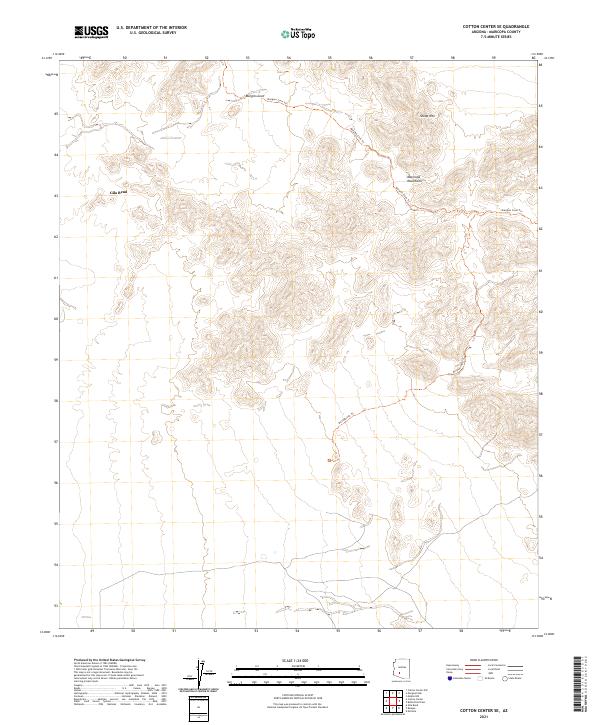
2021 Map of Cotton Center SE
USGS Topo · Published 2021About this map
The Maricopa Mountains dominate this landscape, showcasing the complex desert topography of southwestern Arizona. This modern survey by the U.S. Geological Survey provides a detailed look at the land's contours and established passage through the high desert. The area is characterized by significant natural depressions like Margies Cove and prominent peaks including Sheep Mtn. While much of the terrain is undeveloped, human presence is traced through recreational paths like the Margies Cove Trl and Brittlebrush Trl. The map also details the administrative framework of the region, specifically around the vicinity of Gila Bend, marking various township and range boundaries such as t4s r3w and t3s r2w.
Find a feature on this map
15 named features on this map. Tap any name to fly to it.
Don’t see what you’re looking for? This feature index may not catch every label — zoom into the map to look around manually.
Map Details
Editions of this 2021 Cotton Center SE Map
This is the sole edition of this map. No revisions or reprints were ever made.
Other maps of this area

1951 · Estrella
USGS Topo · 1:62,500

1951 · Gila Bend
USGS Topo · 1:62,500

1951 · Mobile
USGS Topo · 1:62,500

1951 · Cotton Center
USGS Topo · 1:62,500

1953 · Ajo
USGS Topo · 1:250,000

1954 · Phoenix
USGS Topo · 1:250,000

1957 · Ajo
USGS Topo · 1:250,000

1957 · Phoenix
USGS Topo · 1:250,000

1958 · Ajo
USGS Topo · 1:250,000

1958 · Phoenix
USGS Topo · 1:250,000