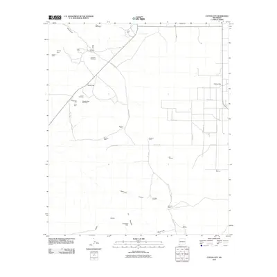
2010 Map of Cotton City
USGS Topo · Published 2010About this map
Cotton City anchors this 2010 topographic record of the high desert in Hidalgo County, where a legacy of resource extraction is evident in the numerous claims scattered throughout the terrain. Significant mining history is concentrated around Granite Gap, with specific sites including the Granite Gap Mines, Montgomery Mine, and Vesley Mine. Farther north, the Crystal Mine and Scheelite Group further highlight the area's geological importance.
Find a feature on this map
38 named features on this map. Tap any name to fly to it.
Don’t see what you’re looking for? This feature index may not catch every label — zoom into the map to look around manually.
Map Details
Editions of this 2010 Cotton City Map
This is the sole edition of this map. No revisions or reprints were ever made.
Other maps of this area

1917 · San Simon
USGS Topo · 1:125,000

1917 · Chiricahua
USGS Topo · 1:125,000

1918 · Pratt
USGS Topo · 1:62,500

1919 · Pratt
USGS Topo · 1:62,500

1919 · Chiricahua
USGS Topo · 1:125,000

1926 · Rodeo
USGS Topo · 1:62,500

1928 · Chenoweth
USGS Topo · 1:62,500

1950 · Vanar
USGS Topo · 1:62,500

1951 · Vanar
USGS Topo · 1:62,500

1954 · Silver City
USGS Topo · 1:250,000